
Despite its notorious reputation for drug trafficking and crime, Colombia is for the most part safe, and definitely worth checking out. I invited my sister, Monica, on this trip with me and made this a “sisters trip” since we hadn’t ever traveled alone together before. Let me just say, it really is a blessing to travel with your sibling if you get the chance!—and this is coming from someone who prefers to travel solo. In our short 8-day trip, we managed to explore several parts of Colombia from the mountains to the coast.
We started our adventure in the Santander region. Shortly after we deplaned in Bogota, we hopped on the bus to Oiba. From the airport, we took an Uber to the main bus terminal. There was a slight mix up on where to meet the driver since like many other places, Ubers are hated amongst the taxi population and are strictly regulated as to where they can park and pick up passengers. So we met the driver in the parking lot across from Door 6 in arrivals.
Be super vigilant in watching your belongings as you approach the bus terminal. We were bombarded by a ton of people asking for money the moment we stepped out of the car. We didn’t make eye contact, and bolted for the entrance to the bus terminal.
There were several bus companies that had routes to Oiba, so we just chose the one with the soonest availability. Our plan was to arrive in Oiba and take a van or collectivo to Guadalupe, but because we arrived so late, we ended up staying in Oiba for the night next to where the collectivos take off for Guadalupe.
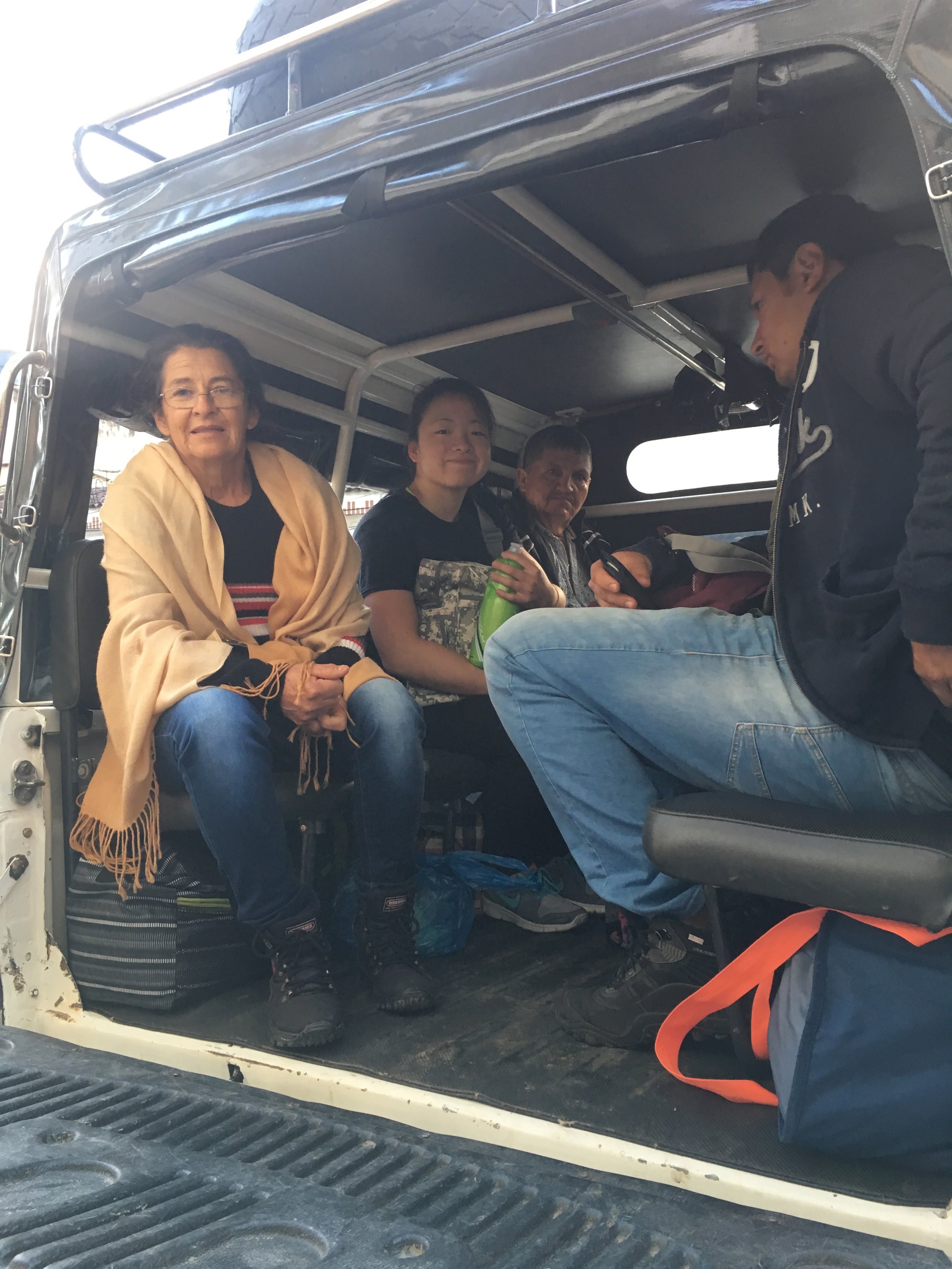
The next morning, we took the earliest collectivo to Guadalupe. The 45-minute trip was rough, winding, and bumpy. When we arrived, we dropped our things off at a nearby hostel and headed for Las Gachas.

Las Gachas
The walk from town center to Las Gachas took approximately 45 minutes. The hike itself is very pleasant, shaded in some areas, but mostly exposed. The trail is pretty clear cut, but there’s no signage along the way to let you know if you’re going the right way, so if you’re not sure, just ask the locals and they’ll point you in the right direction. There were no turns to make, so if you just continue straight you should eventually get there.


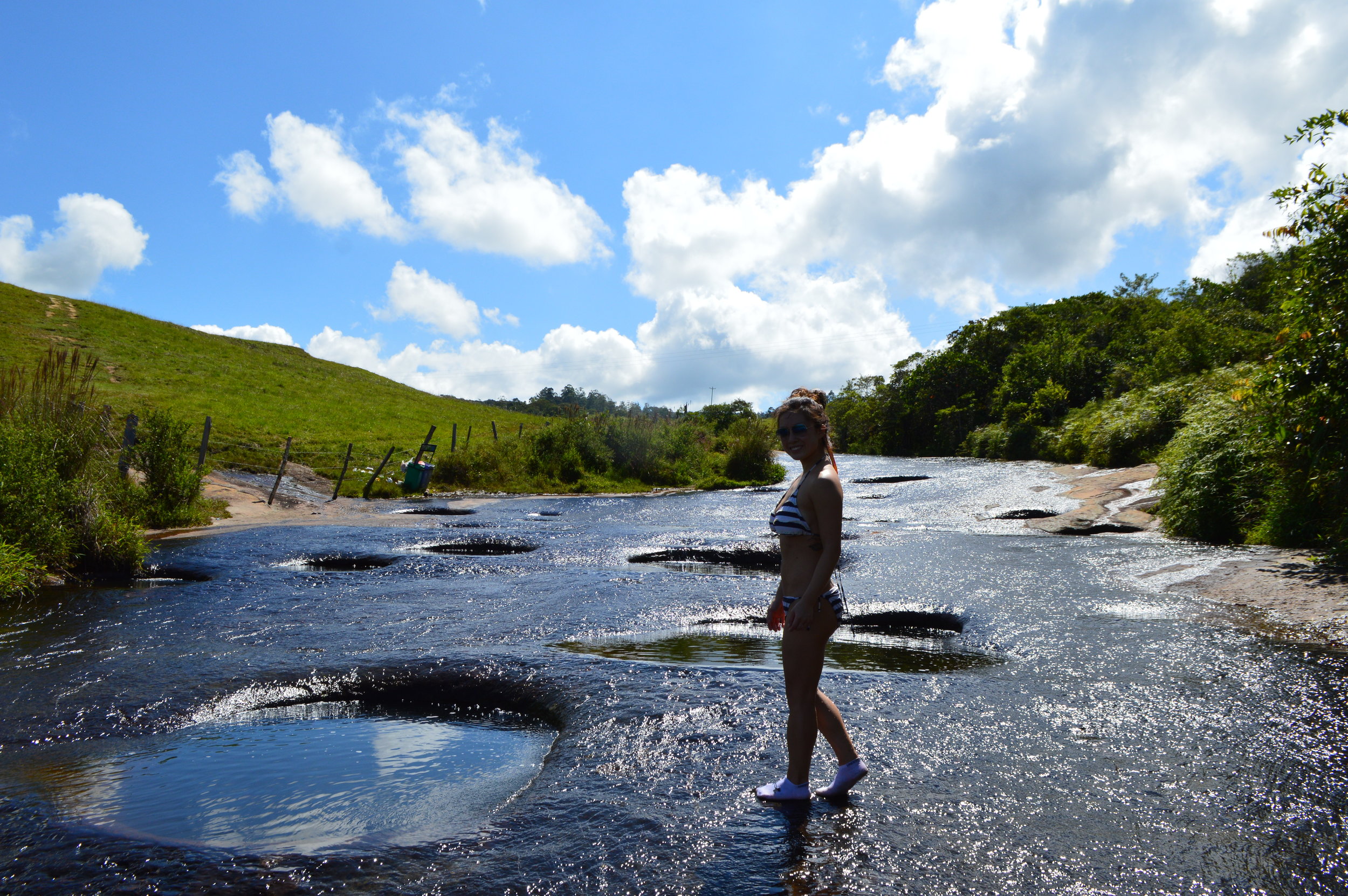
At Las Gachas, you will first see two deep holes that you can’t swim in, for obvious reasons. There were two frogs that were stuck at the bottom of one of the holes. We spent about 20 minutes trying to rescue them out, and successfully rescued one of them!


If you walk a couple meters up the river, you’ll get to more holes, and some that you can sit in. According to the signs (that were all written in Spanish), you must wear socks. It is very slippery!


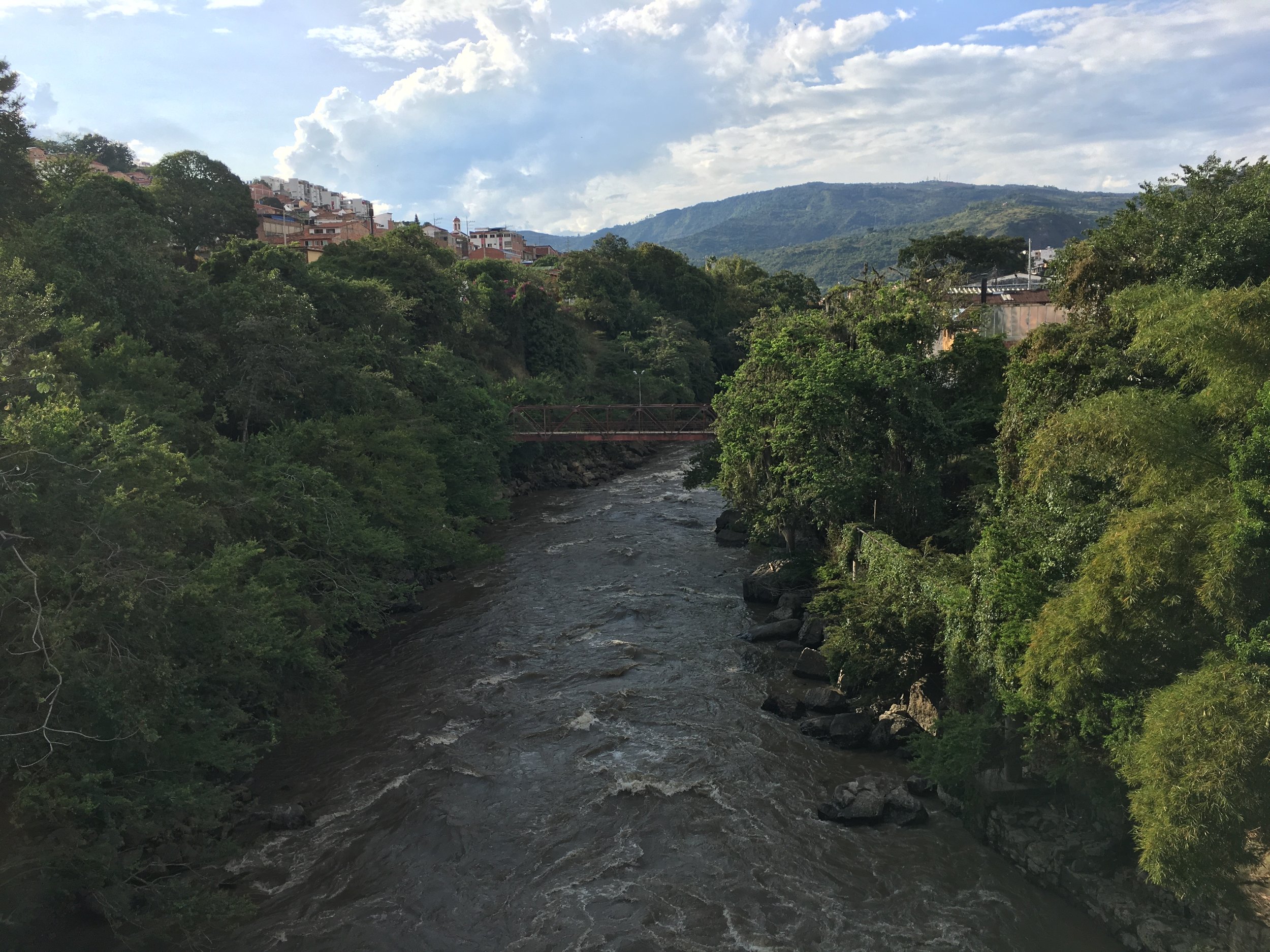
San Gil
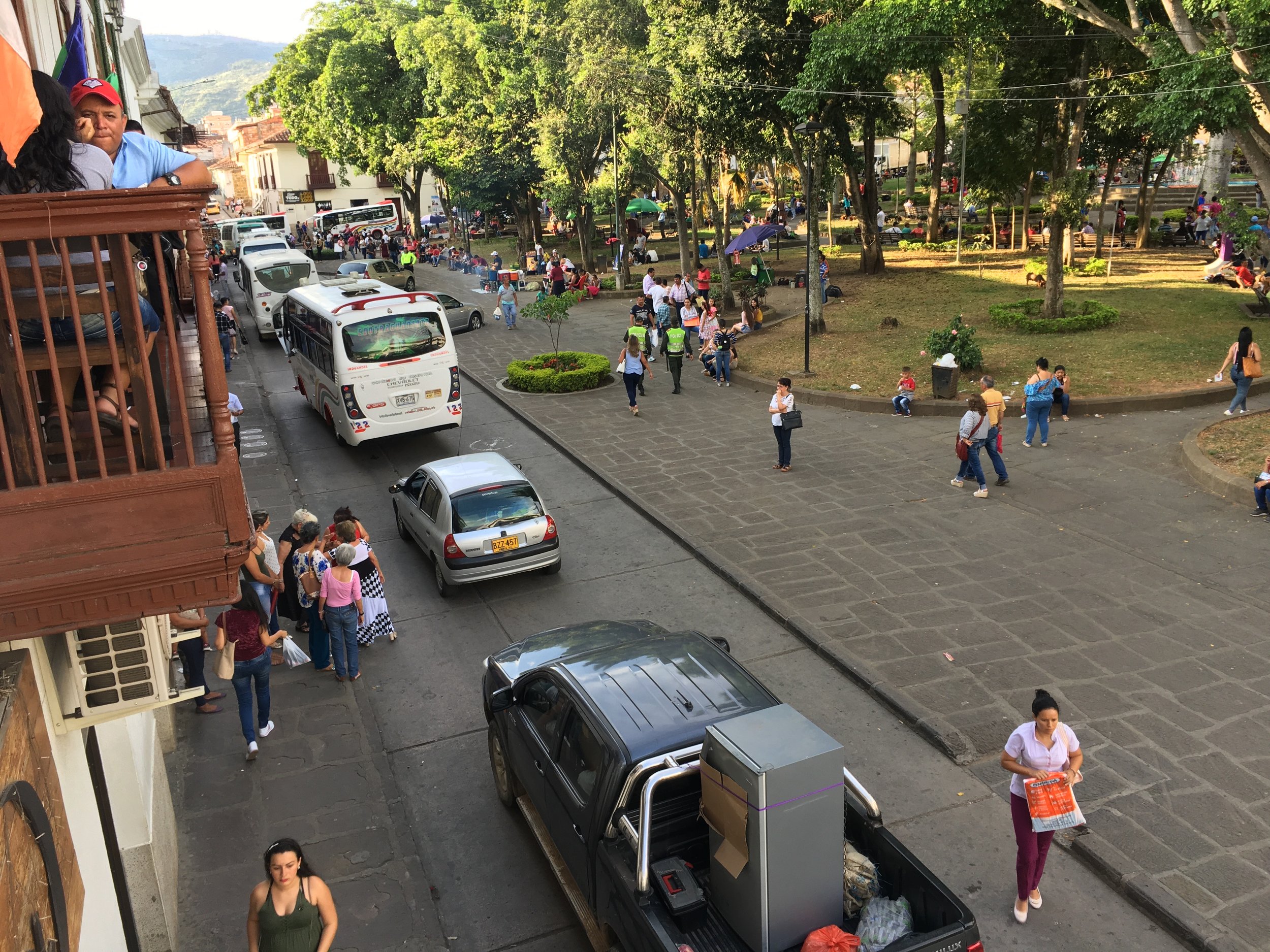
Most people spend more than just one day in San Gil; after all, it is deemed the ‘adventure sports capital of Colombia’. When we arrived, we quickly realized that much of what was offered was also available and just as fun in the U.S. or elsewhere so it wasn’t as appealing to us. However, if you have the time and energy, it doesn’t hurt trying out some of the adventure sports the area has to offer. Some of the popular trips include caving, waterfall rappelling, canyoning, bungee jumping, whitewater rafting, and paragliding. There’s a nearby natural pool in walking distance (about 2km) from San Gil called Balneario Pozo Azul. We didn’t get the chance to visit, but was told by a local that the river water is treated with chemicals due to the extreme pollution from the nearby towns. The reviews online of this place are positive, nonetheless.
That said, we opted to explore the small city of San Gil and do a day trip to the neighboring towns of Barichara and Guane instead.


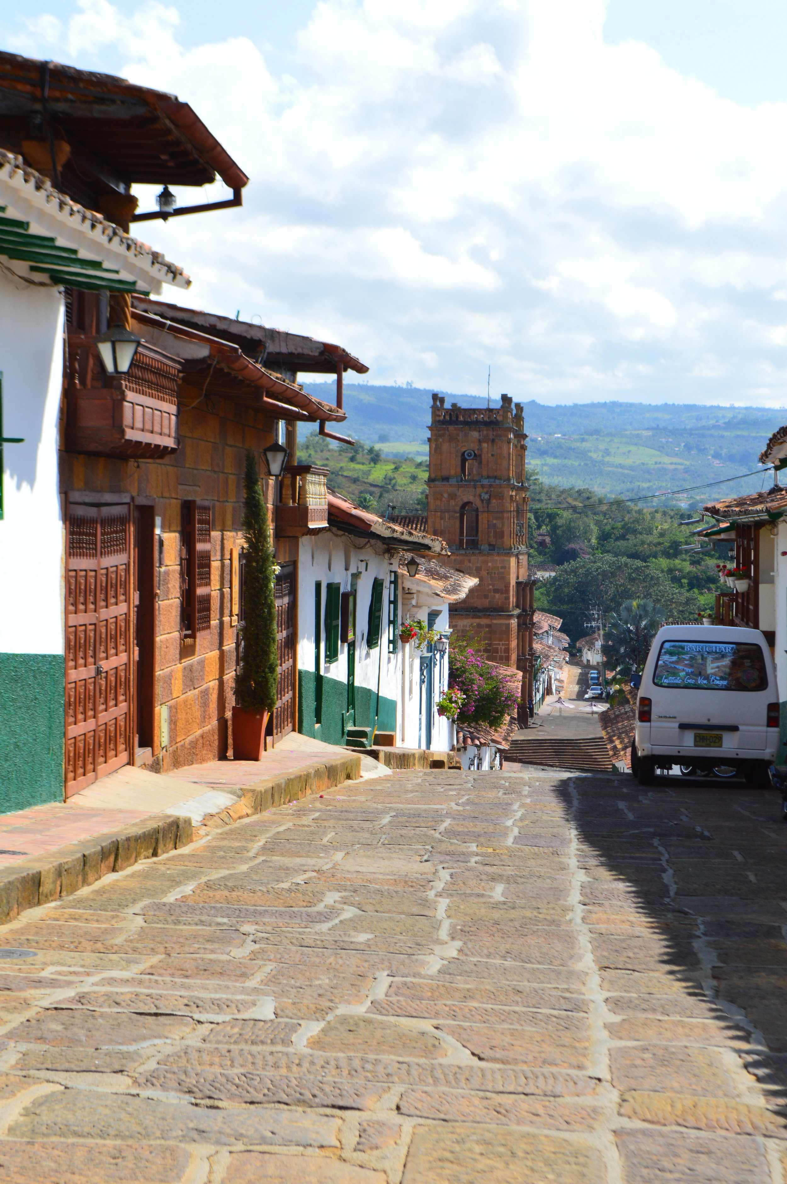
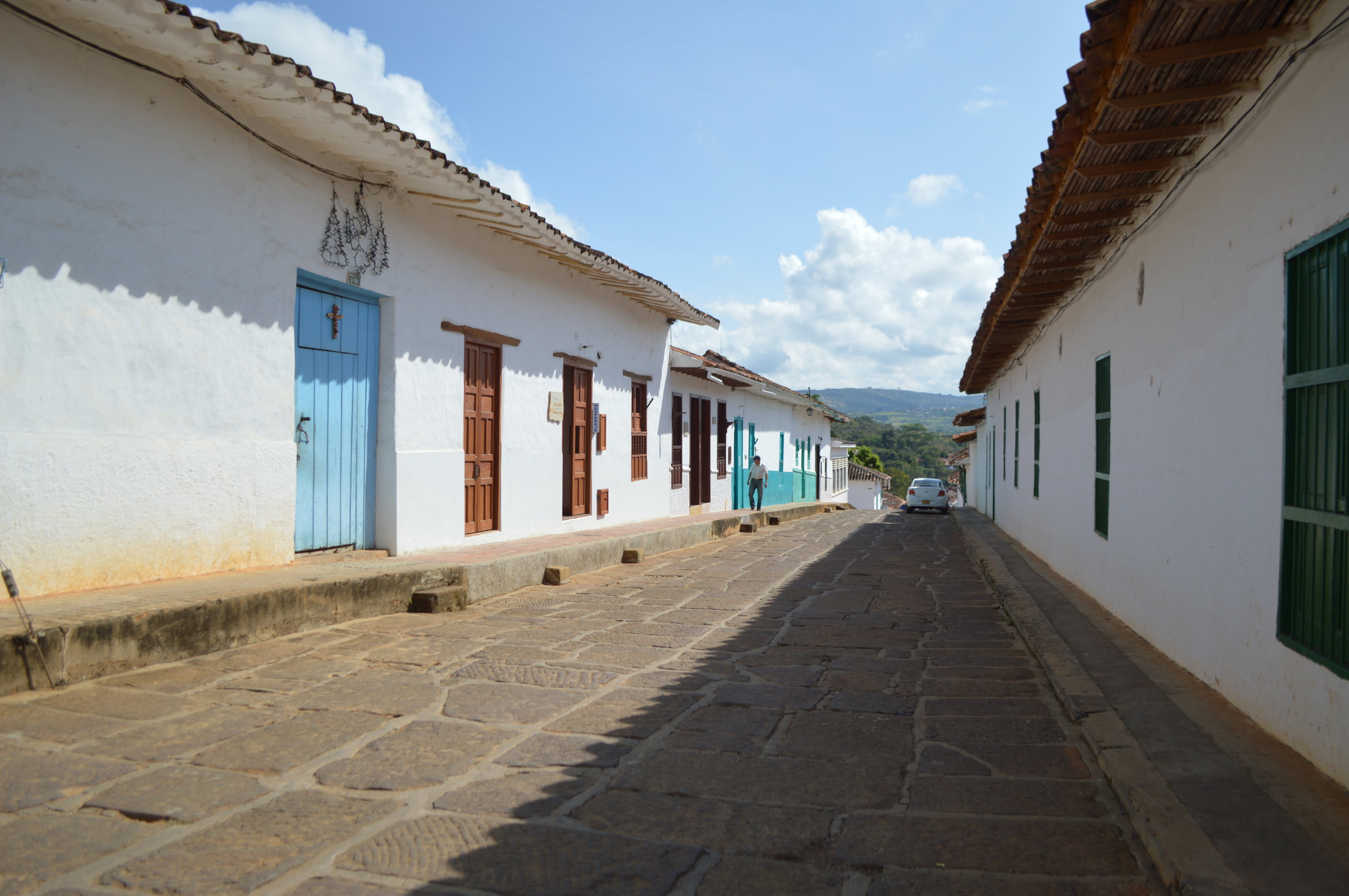
Barichara and Guane
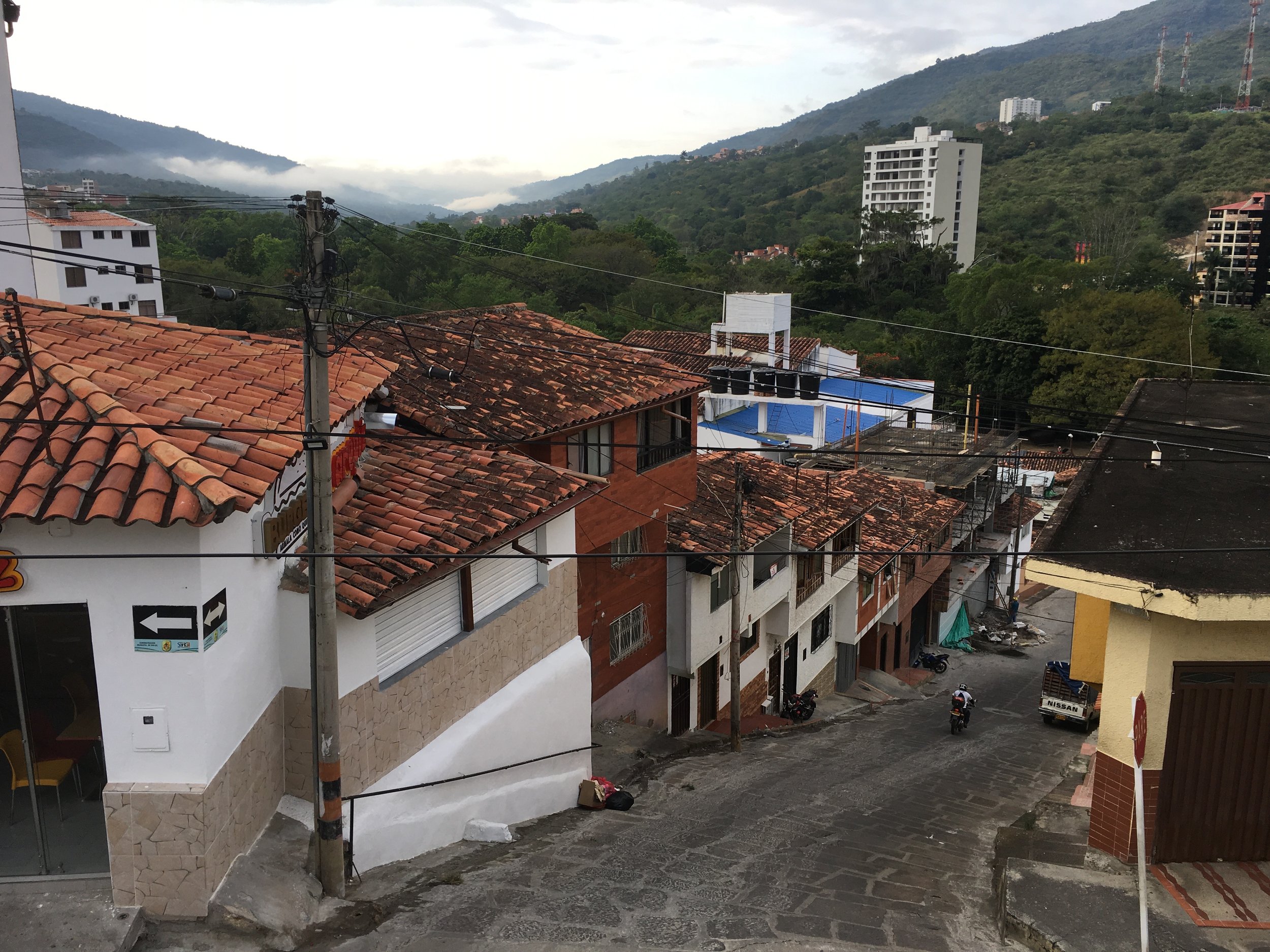
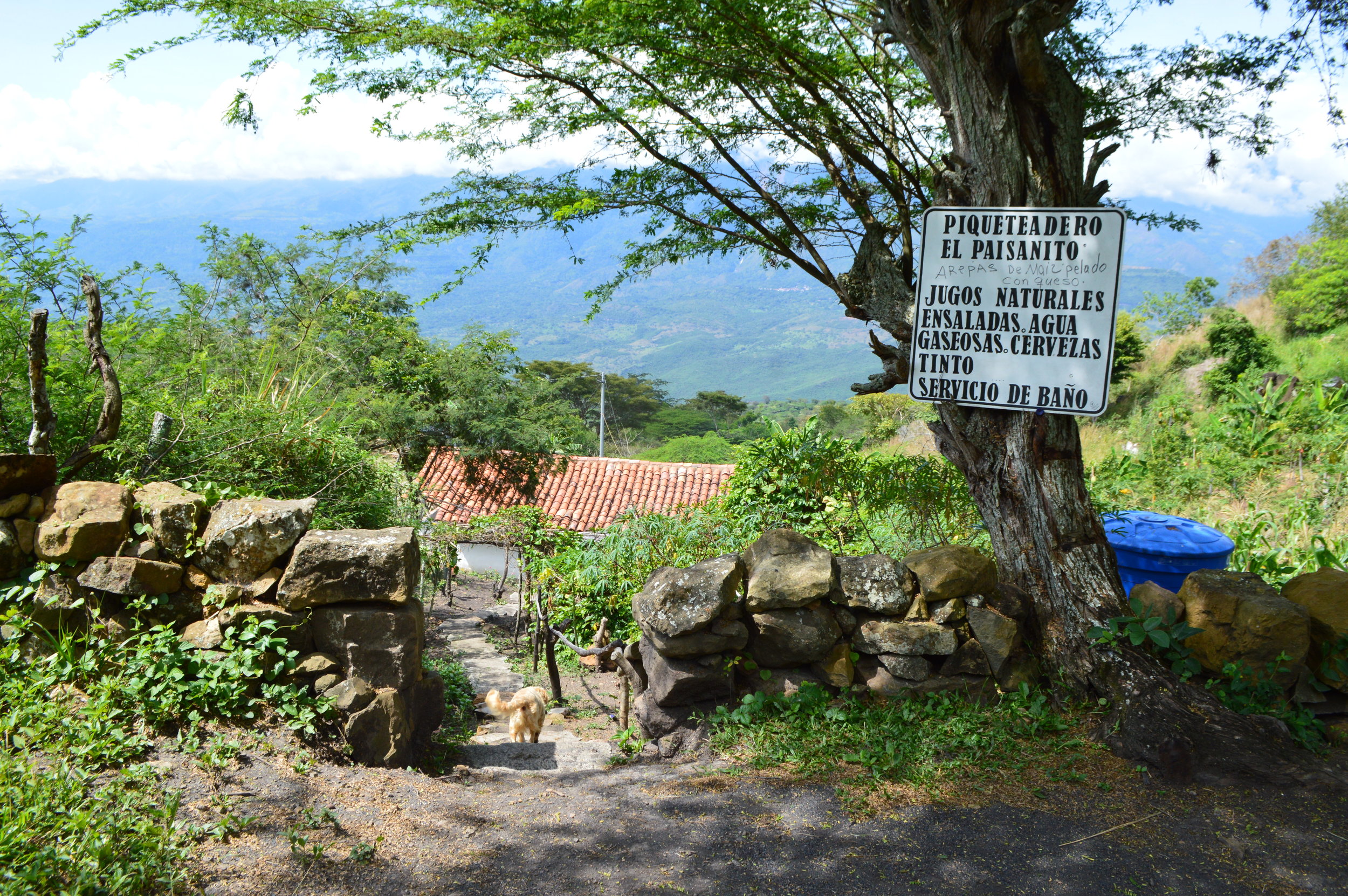
A quick day trip to Barichara and Guane is definitely worth it! From San Gil, we took a collectivo to the quiet town of Barichara. Quiet is an understatement—it was practically empty. It was a nice change of pace though. Before embarking on our adventure for the day, we were in dire need of some caffeine, so we popped into this cafe, Nora’s Bakery, nearby where the bus dropped us off. Out of all the lattes I had in Colombia, this was by far my favorite!


We also stopped by Salto de Mico, although I’m not entirely sure we found the exact lookout point. We found the sign, nonetheless. It kind of reminded me of a small chunk of the Grand Canyon. It’s beautiful!

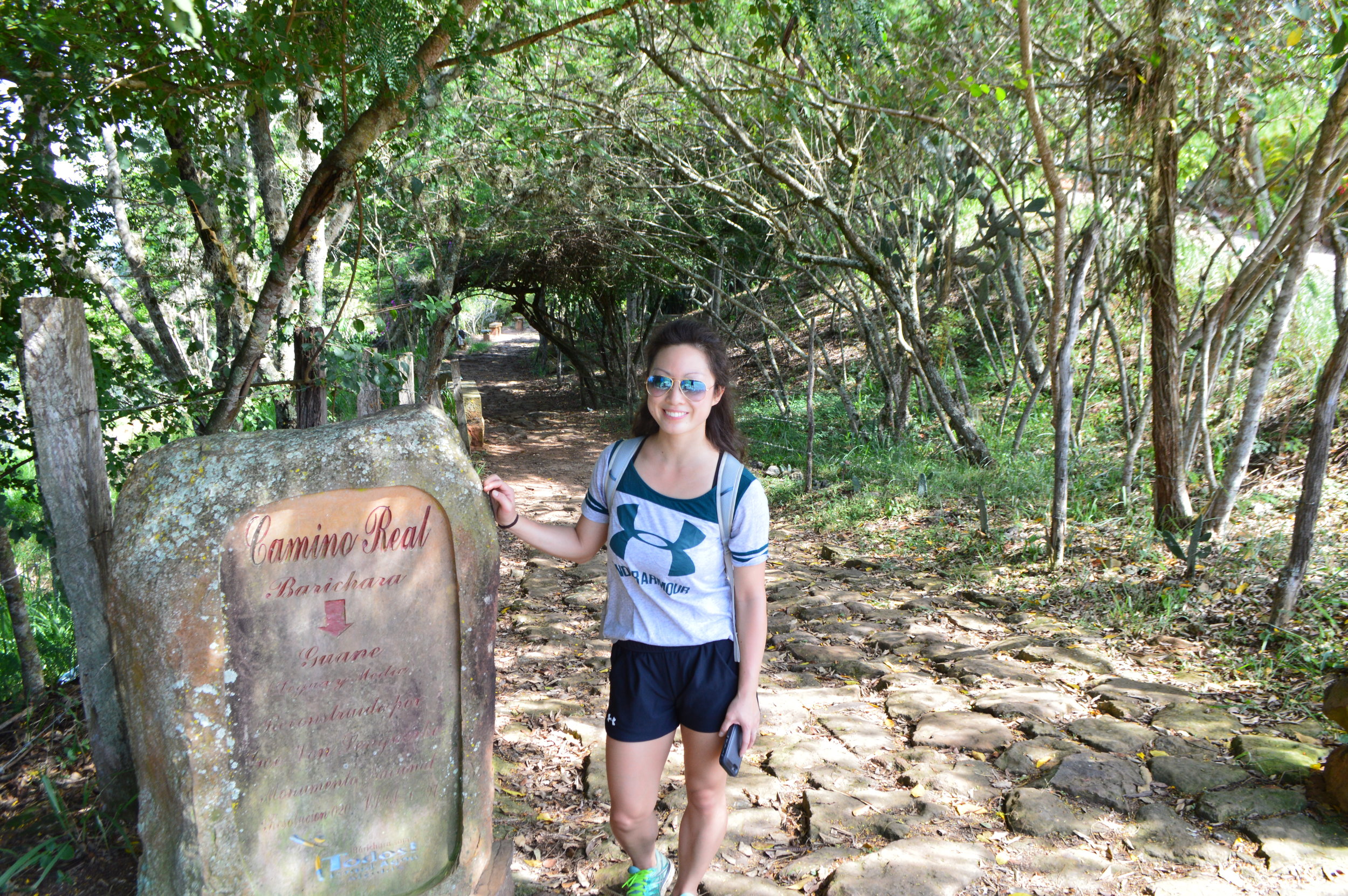
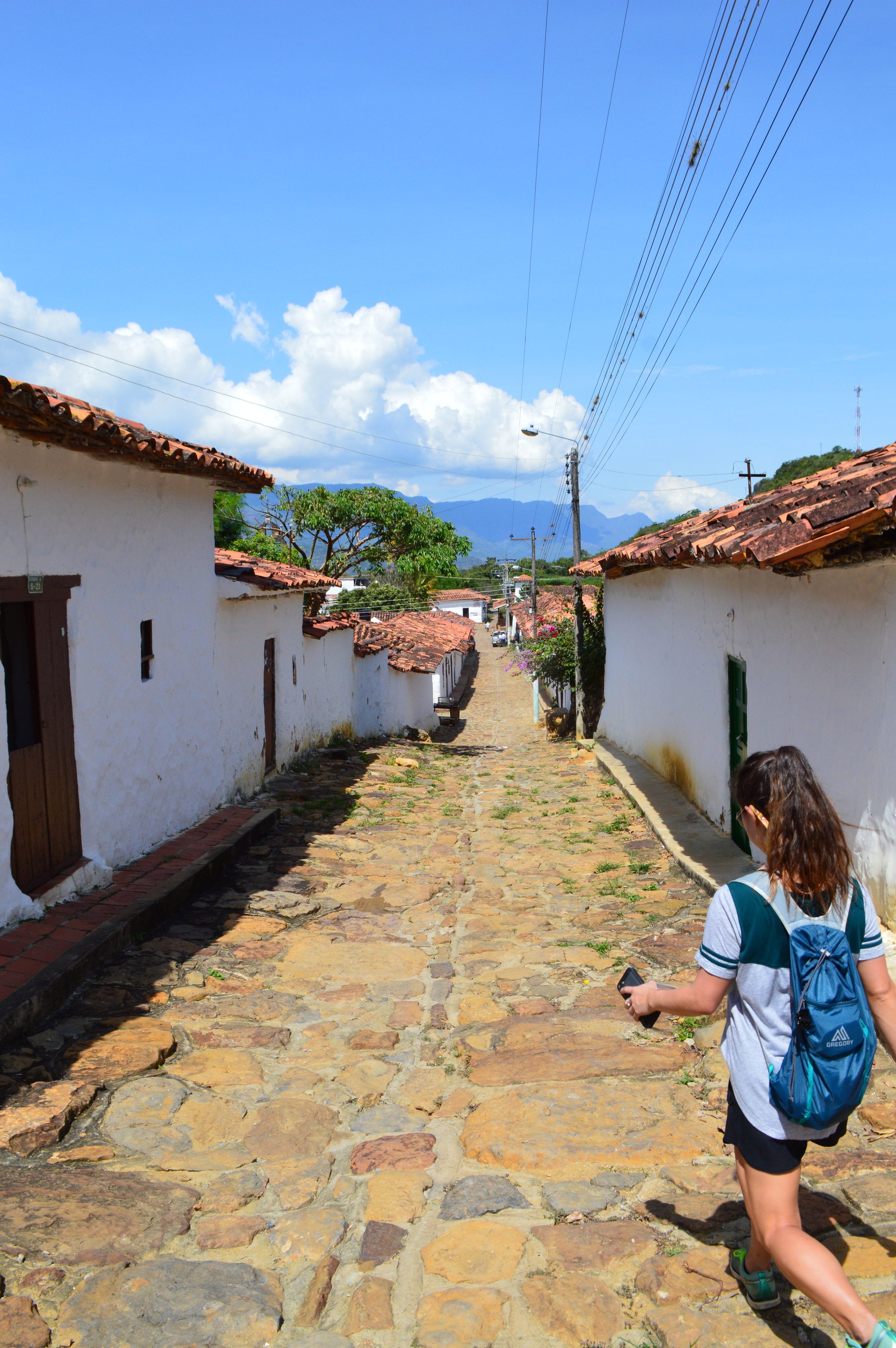
We were there on a Saturday, so I’m not sure if everything was just closed or if the town is really that quiet. We walked around for a bit then headed on the Camino Real Trail which connects Barichara to the neighboring town Guane. The hike is fairly easy, but hot! Only a small portion of the trail is shaded, so start the hike early in the morning if you can and bring plenty of water. The sweltering heat is no joke!

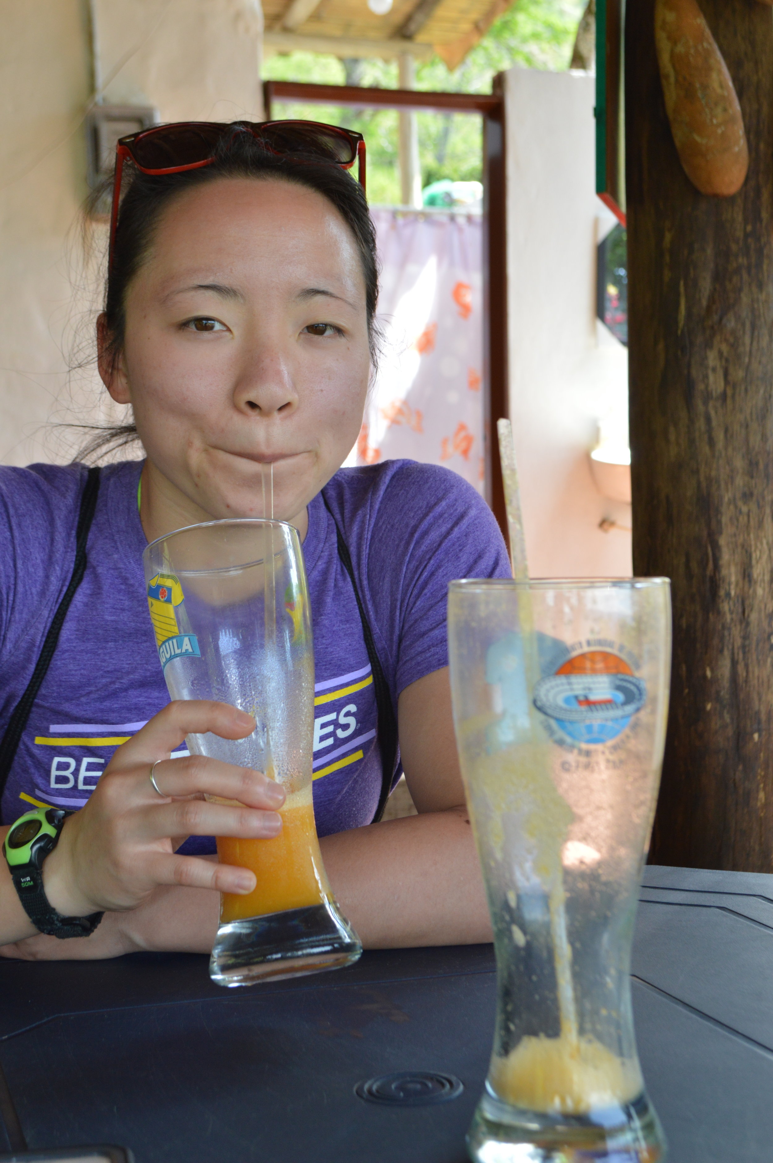


We also stopped along the way for some refreshing juice. From Guane, we took a collectivo that dropped us off in San Gil.

From San Gil, we took a bus to Bucaramanga, and arrived pretty late in the evening, so we stayed the night there until our flight the next morning. We took an early flight to Cartagena from Bucaramanga and had plenty of time to spare in Cartagena to check out the city.
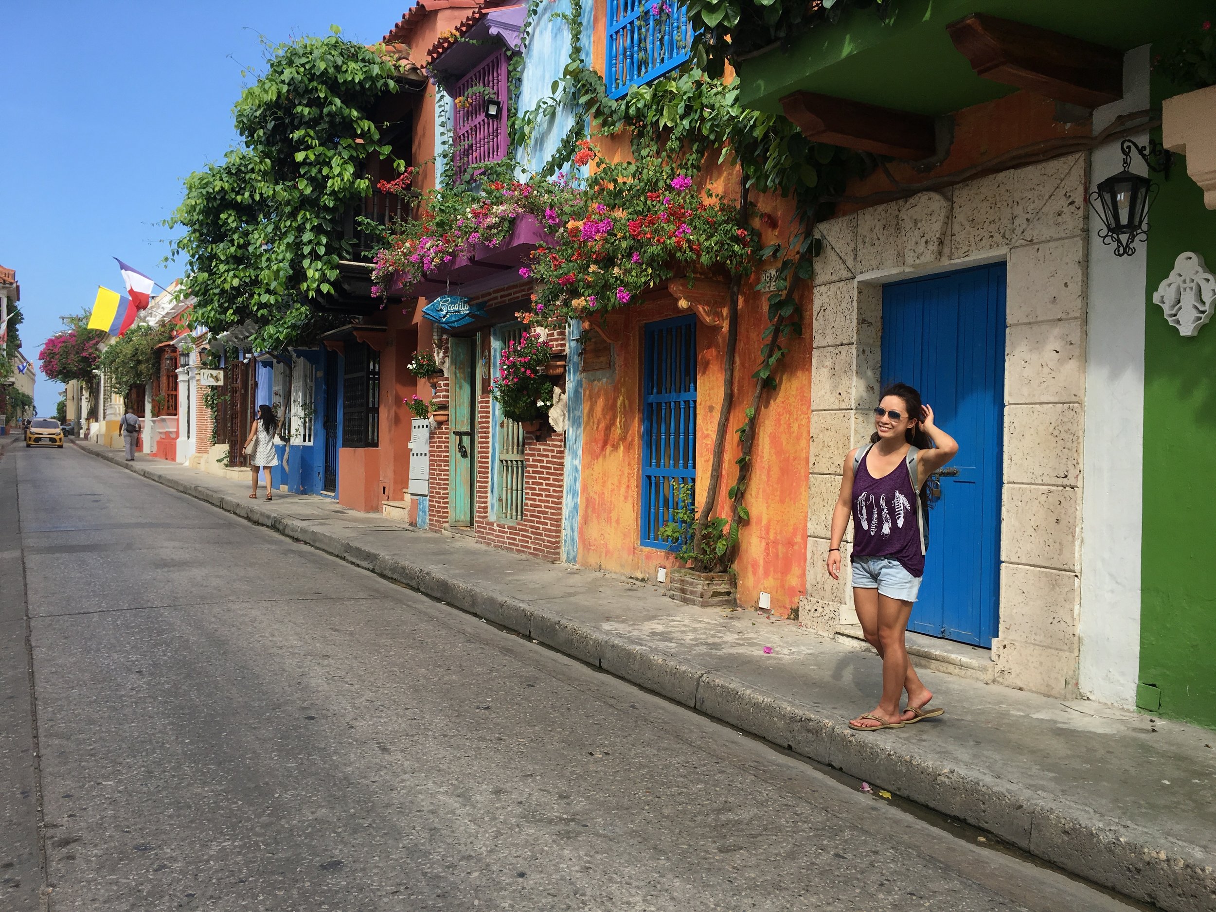
Cartagena
In my opinion, I think Cartagena is overrated. Yes, it’s worth a quick stop, but no more than that unless you plan to party your ass off and spend a couple days hungover in bed. Also, it’s worth noting that it’s not all that safe either contrary to popular belief. Like any major city, use common sense. If you are staying anywhere outside of the Walled City (Old Cartagena), be extra careful when going out at night. My sister and I stayed at an airbnb just right outside of Getsemani, and was told to walk on the main road after sundown. Another guest at the airbnb was mugged and robbed in broad daylight, so we decided it was best to stay in for the night.
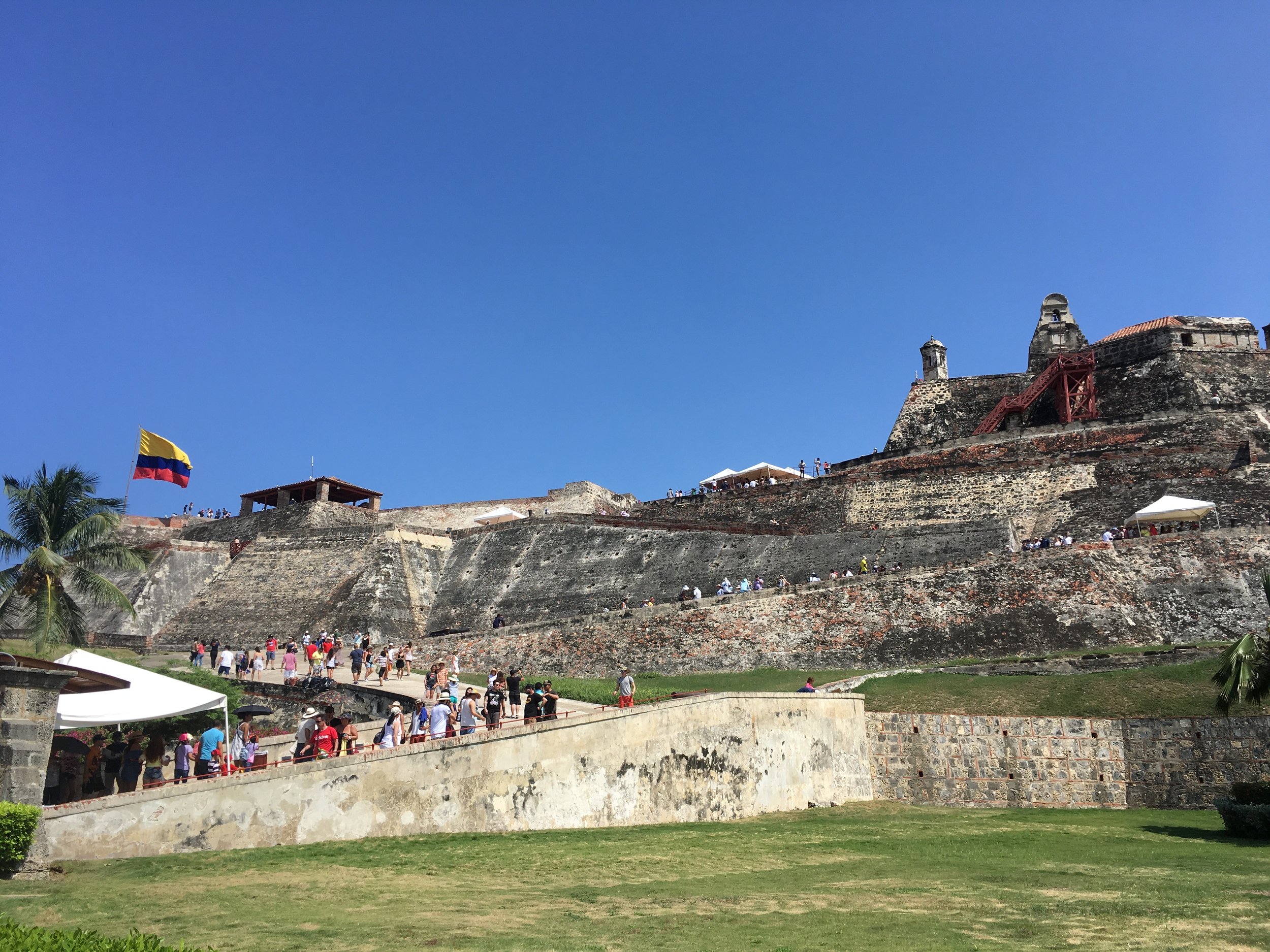
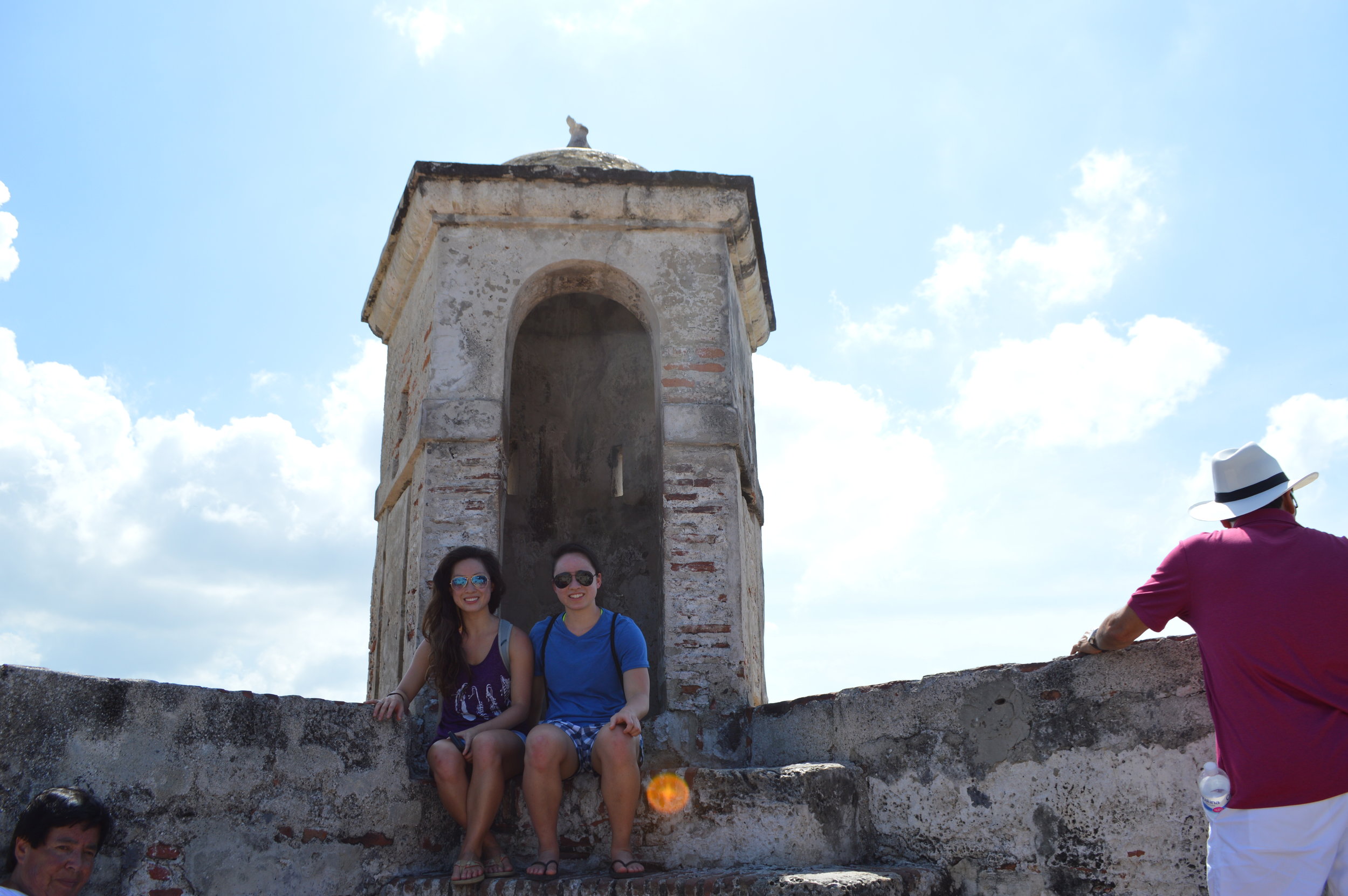
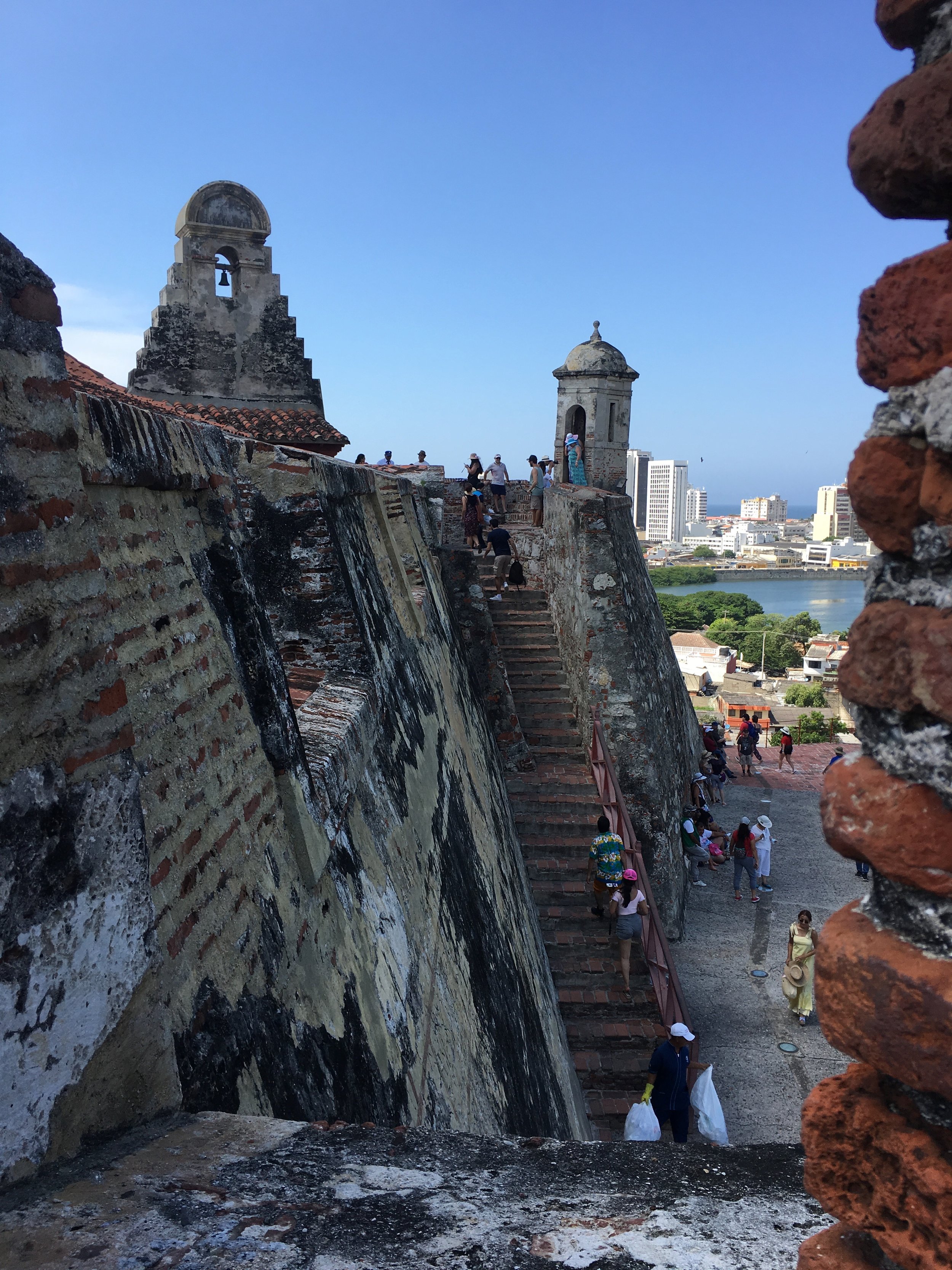
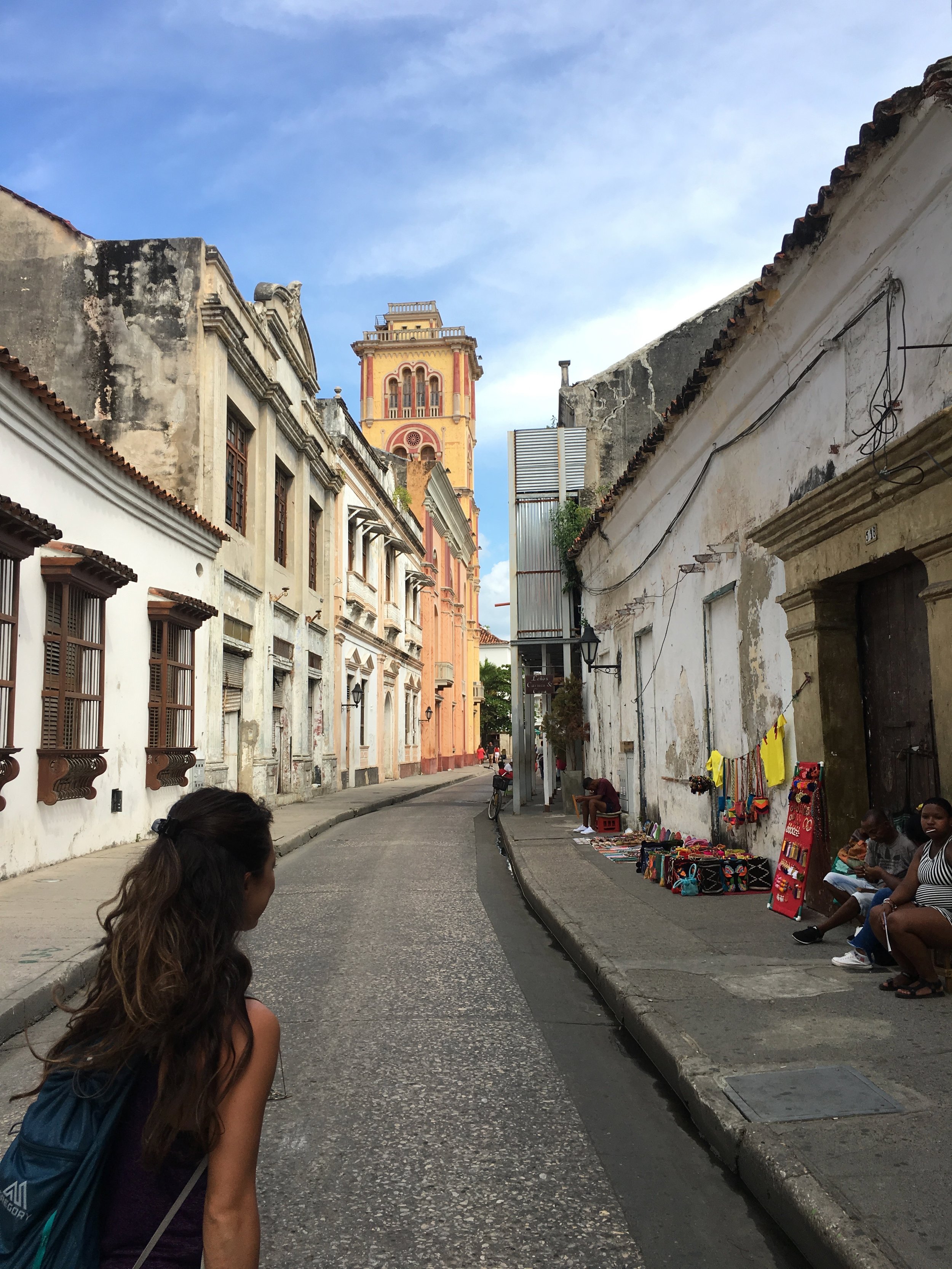
That aside, during the day we visited Castillo de San Felipe and roamed around the Walled City. Again, it was a nice stop, but since I’m not much of a city person, it wasn’t all that interesting to me.


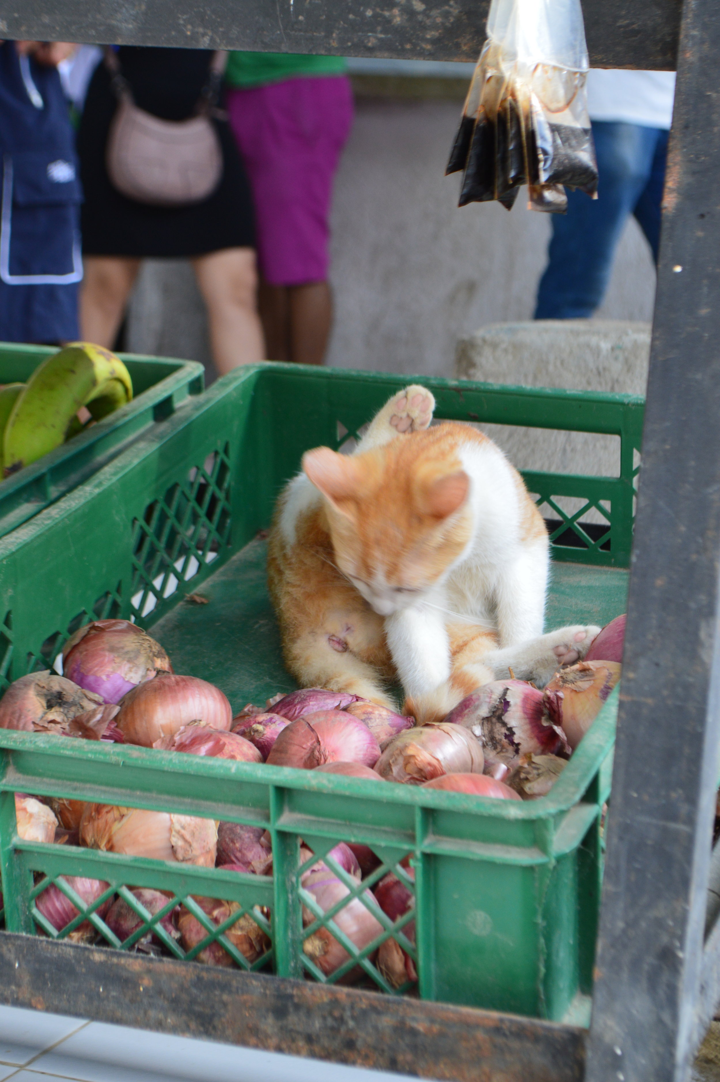
From Cartagena, we swiftly moved on to Santa Marta the next morning. We took a bus from Cartagena to Santa Marta where we took a taxi up to Minca. There isn’t much to do in Santa Marta, so I wouldn’t suggest staying there for the purposes of exploring the city. Santa Marta is more of a gateway city into Minca, Tayrona Park, and the surrounding areas.
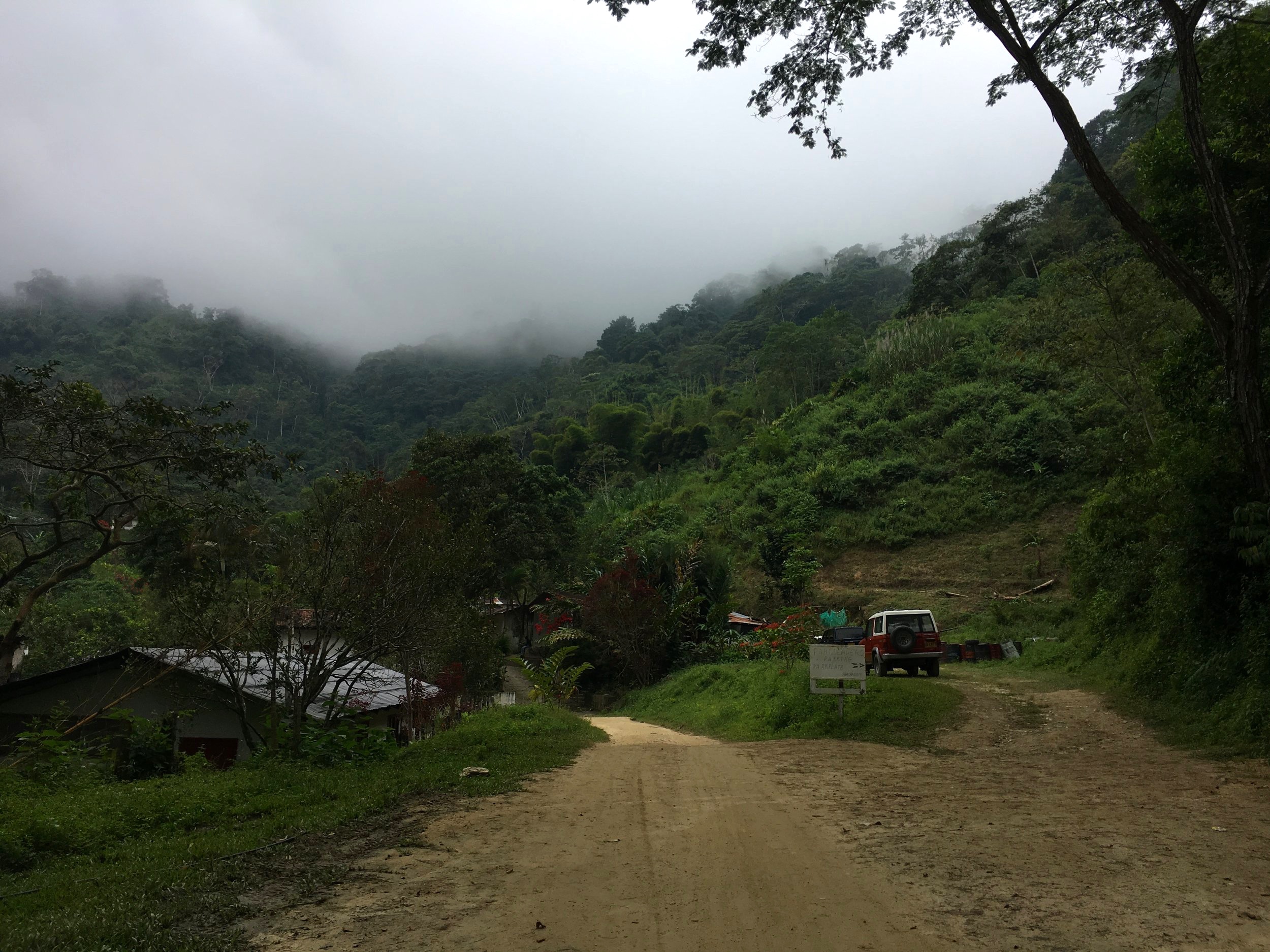
There are collectivos that depart from the main market in Santa Marta to Minca for about 8,000 COP per person, but since we arrived later in the afternoon, we took a taxi up. We were exhausted and didn’t feel like going through the trouble of walking to the market, which was quite a distance from where the bus dropped us off. We were able to negotiate the taxi ride down to 45,000 COP which honestly wasn’t too bad of a price considering how far Minca was from the city center. After 45 minutes of winding road, we were dropped off in the center of Minca. From there, we walked about 15 minutes to our hostel Costeno River Minca. When we arrived at the hostel, the owner told us there was a shortcut…through crossing the river!


I would highly recommend checking out hostel Costeño River Minca. It’s about a 15-minute walk from the center of town—if you go the proper way that is…more on that later. Look for the two large metal green doors, and walk down the driveway. If you’ve reached Casa Relax, you’ve gone too far.
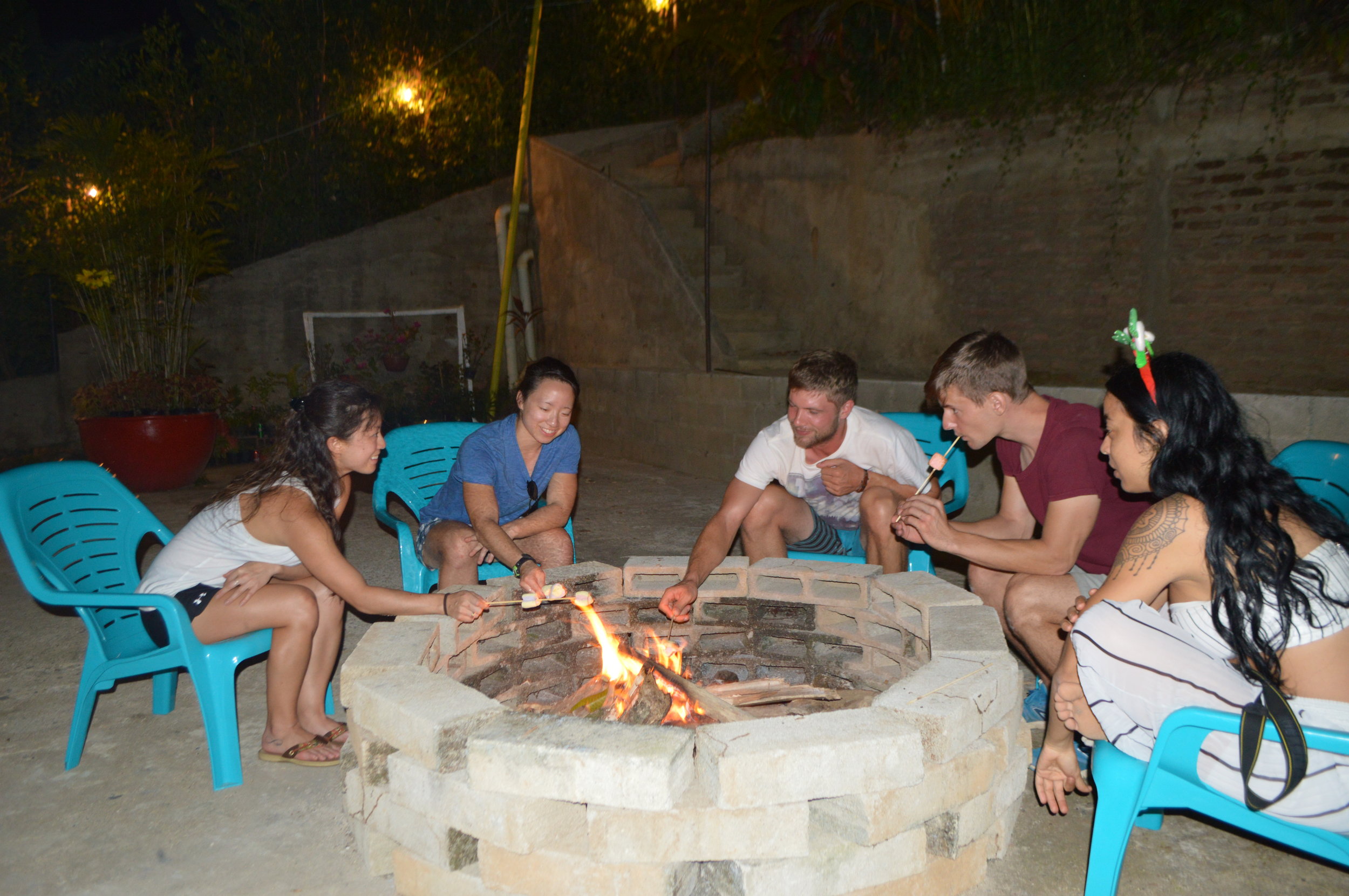
When we arrived, the hostel was only 9 days old. Being that it was still very new, the hostel wasn’t entirely prepared for the influx of guests. Despite the small inconveniences, it was in a great location right next to the river and had mostly everything you needed for a comfortable and relaxing stay. To date, the property features one dorm room, a single room, and three bungalows. I believe they are still building so more rooms may be available in the future. Every night, the hosts would set up a bonfire in the courtyard where everyone gathered to chat, drink, and roast marshmallows.


Minca
Minca was my favorite part of the trip. It was a couple degrees cooler than the hot and humid city of Santa Marta. Since we arrived late afternoon, we quickly got settled in at our bungalow, and set out to the city center to grab water and get acquainted with the area. The next morning, we set out for quite an adventure—one that we weren’t entirely prepared for. We were told that there was a loop trail around Minca that only took about 5-6 hours…lies!!! My sister and I are pretty athletic and are not amateur hikers, but this loop took almost 10 hours (with maybe one or two stops). We started hiking around 8:30 am with two quick detours along the way.
This is more or less the route we took, however it doesn’t account for the stops at Pozo Azul and Finca La Victoria. See map below. Although the map says 14.48 miles, in reality, we hiked a total of 16.1 miles. It’s worth noting that the stops are not really “on the way”, and require a small detour off the path that you’ll need to double back to get on the main road again.

Our first stop was at Pozo Azul. It was very underwhelming. If you’ve seen waterfalls, this is one that isn’t worth your time for several reasons. For one, it was overcrowded with tourists and locals alike. Secondly, you can’t even get that close to the falls without getting yelled at by the so-called lifeguards. Despite raving reviews online about Pozo Azul, it just wasn’t worth the stop. There’s another waterfall nearby (Secret Waterfall) that really only the locals know about. We didn’t get the chance to check it out, but it’s inquiring if you’re curious.


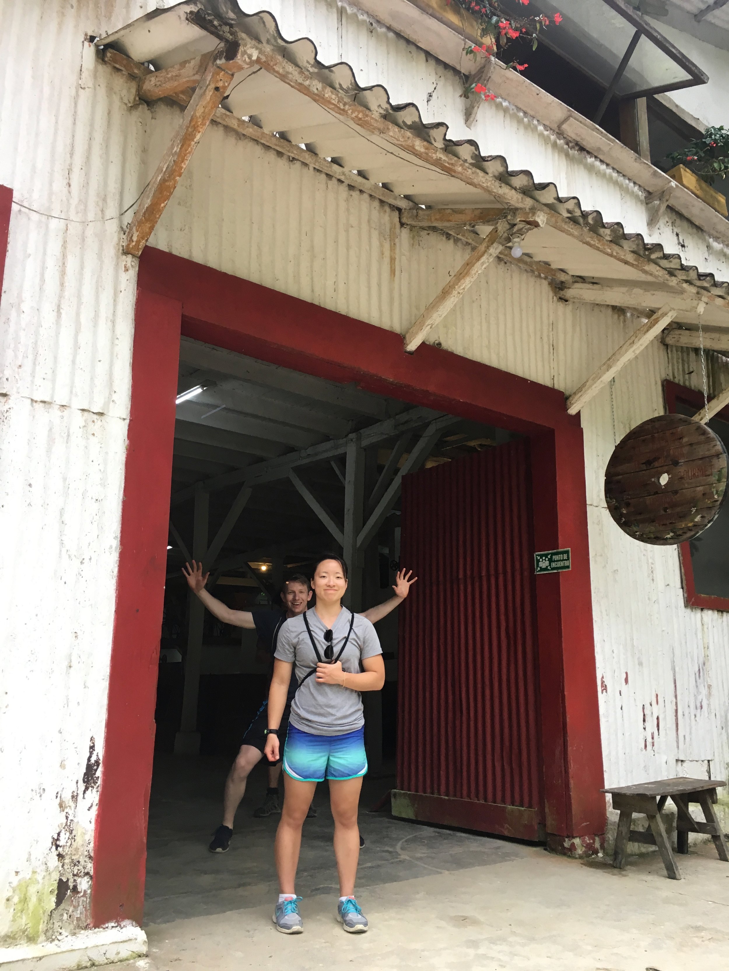

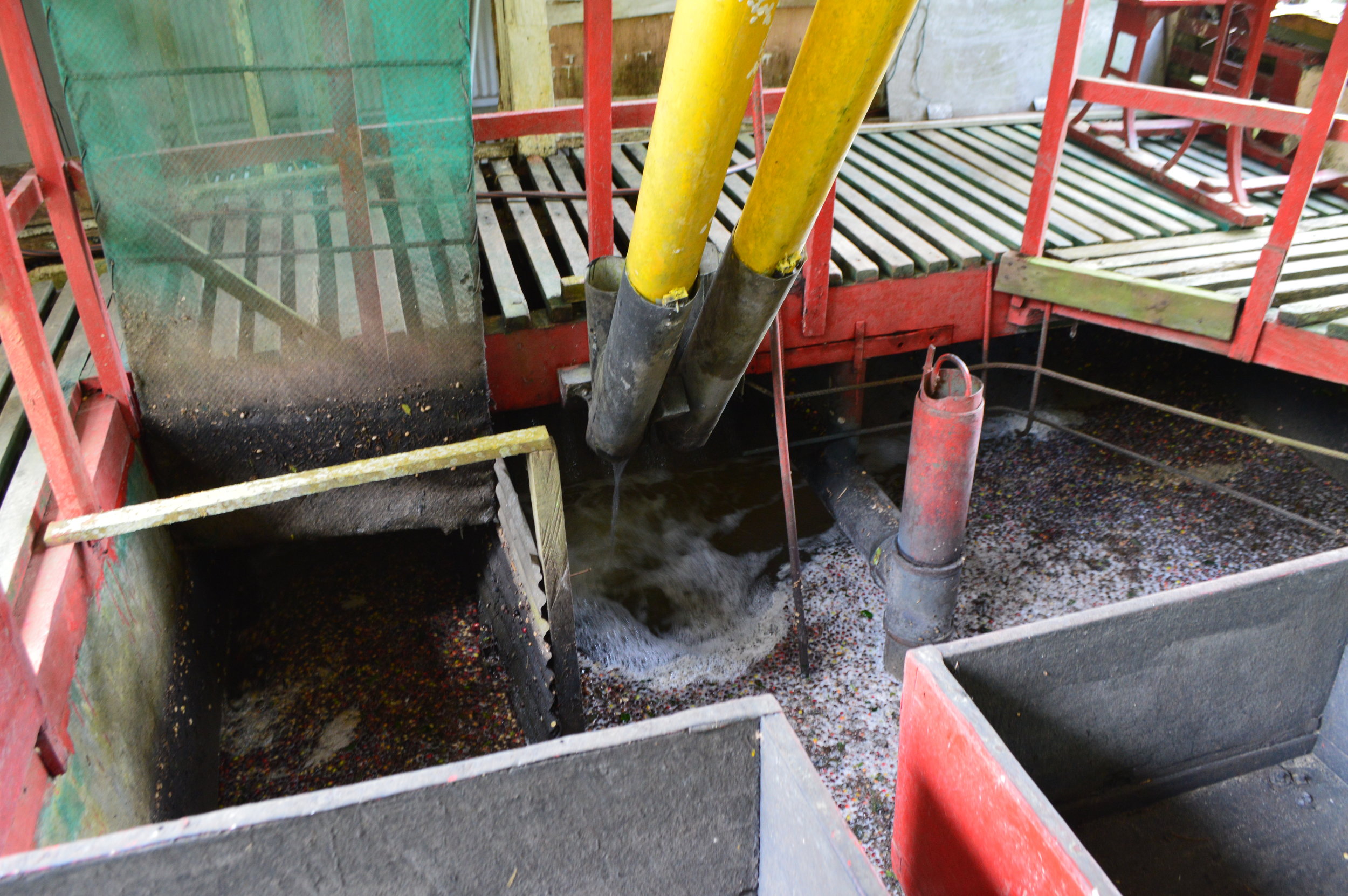
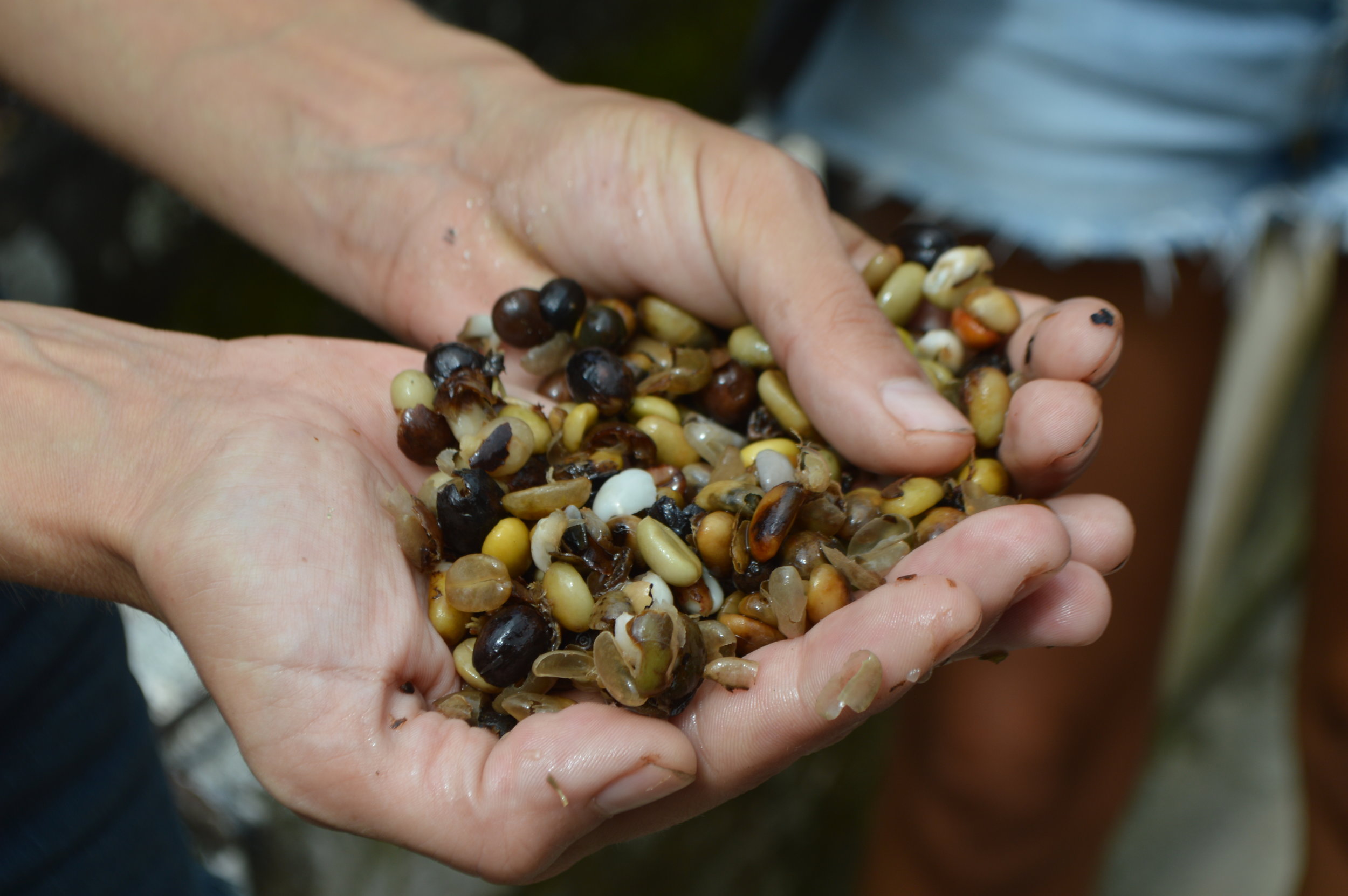
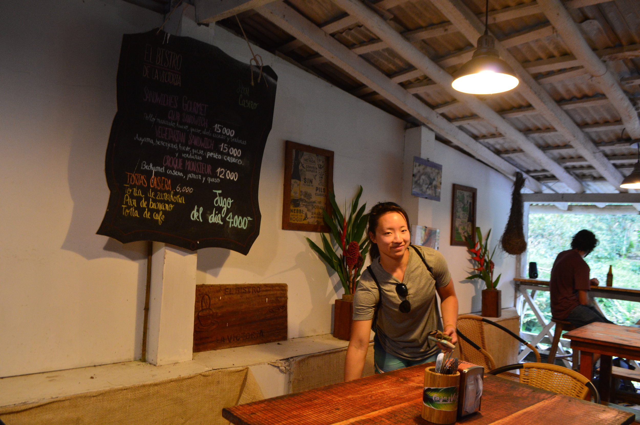
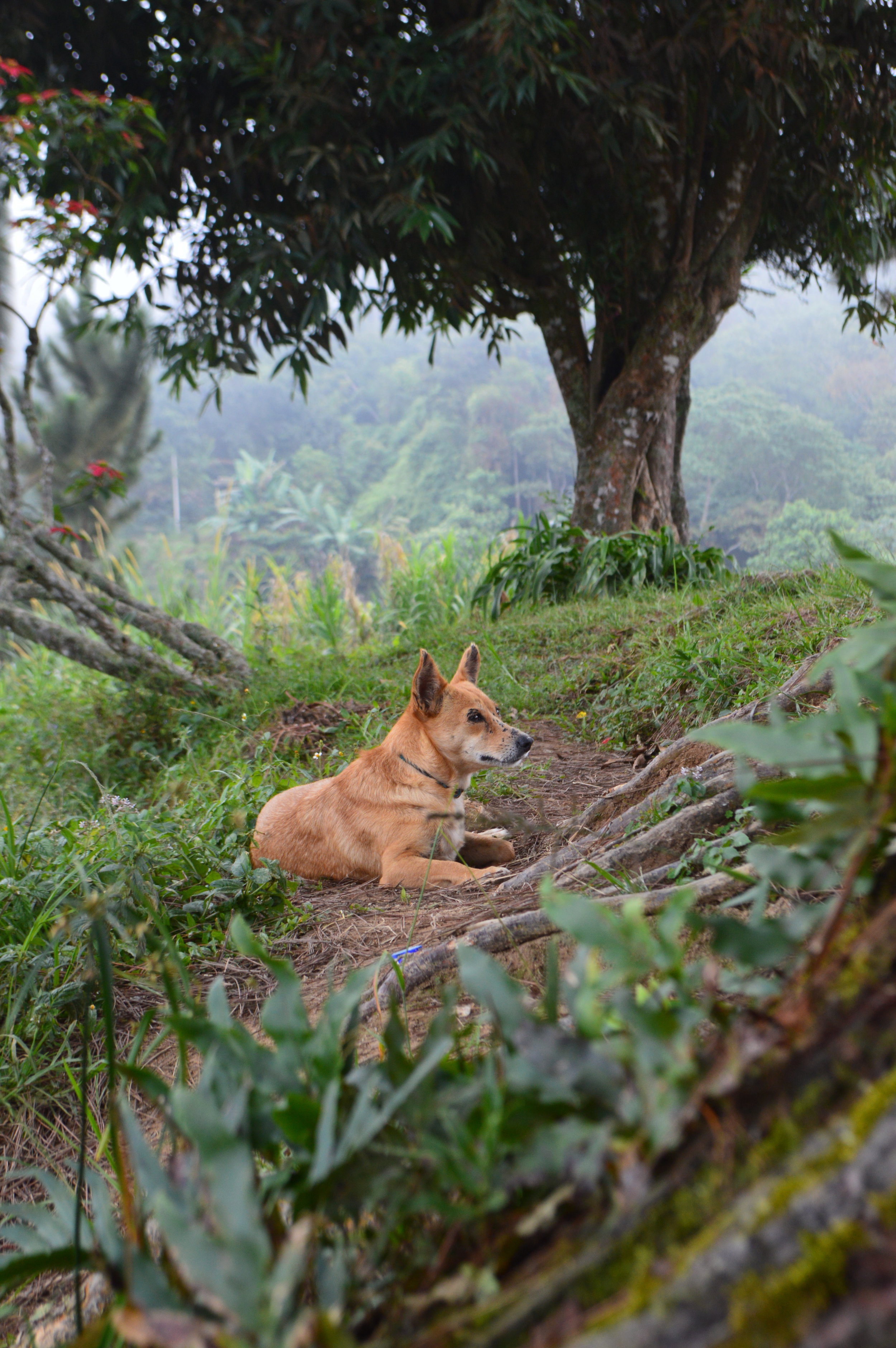
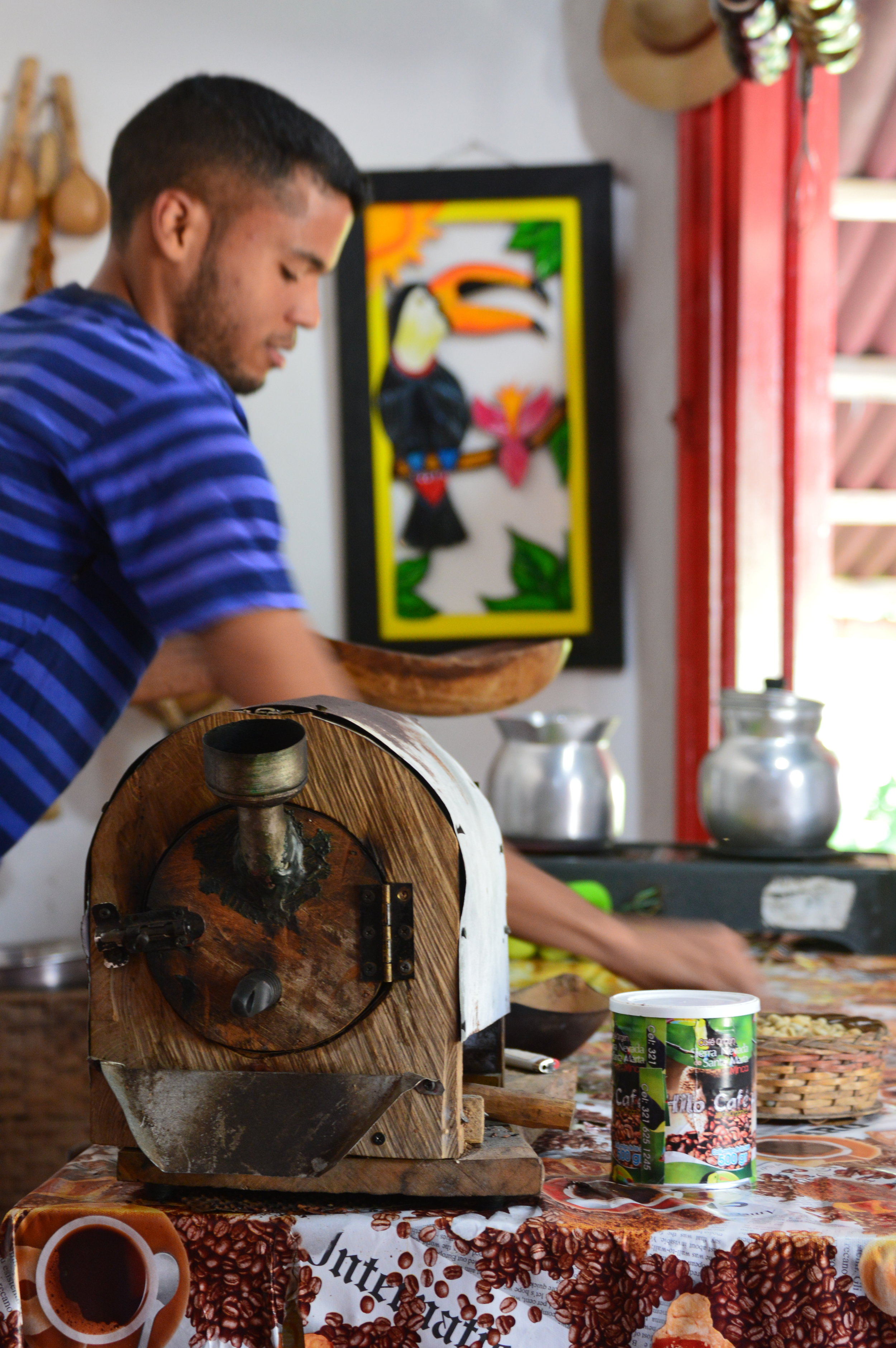
Another hour and a half into our hike we arrived at Finca La Victoria. La Victoria was founded in 1892 and still uses water to power machinery and pipes to bring coffee berries in from the fields, sort them, and move them between the different stages of production. It was a quite a long detour off the main road, but well worth it. This coffee farm is nestled in the dense bamboo forest next to a river. What makes this farm and plantation so impressive is its use of water turbines to power all the machinery on the property. For 15,000 COP per person, you get a great tour led by very knowledgeable staff and two cups of coffee included. Jasmine, our tour guide, spoke English, German, Italian, and Spanish! She led us through the entire process from seed to cup. I highly recommend doing the tour!
The main crop is harvested between November and February, with a secondary harvest from February to March. (We made it just in time to witness the harvesters hard at work!) Workers pick the berries by hand and load them into the water pipes, which carry them from the hills down to the processing center.


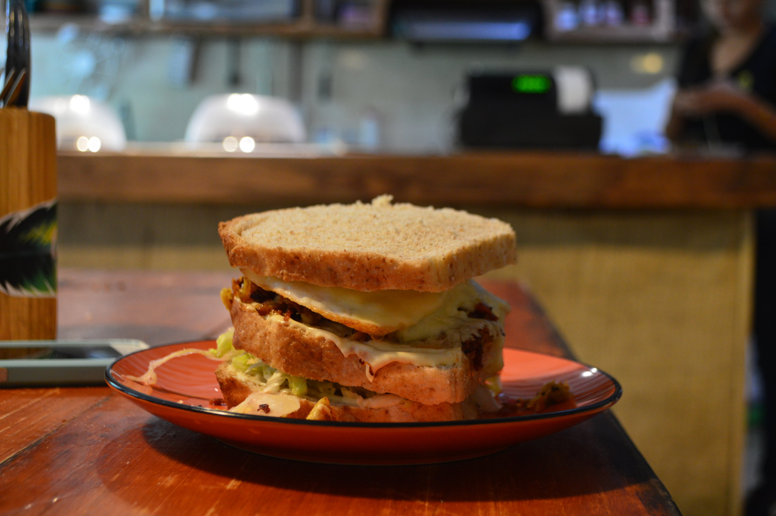
Because we were so exhausted from the hike up, we also stopped for lunch at Finca La Victoria. They have a limited menu, as expected because you’re at a coffee farm, not a deli. We had a club sandwich which was surprisingly really good! If you have the time, I recommend swinging by the cafe and grabbing a bite to enjoy with your coffee.
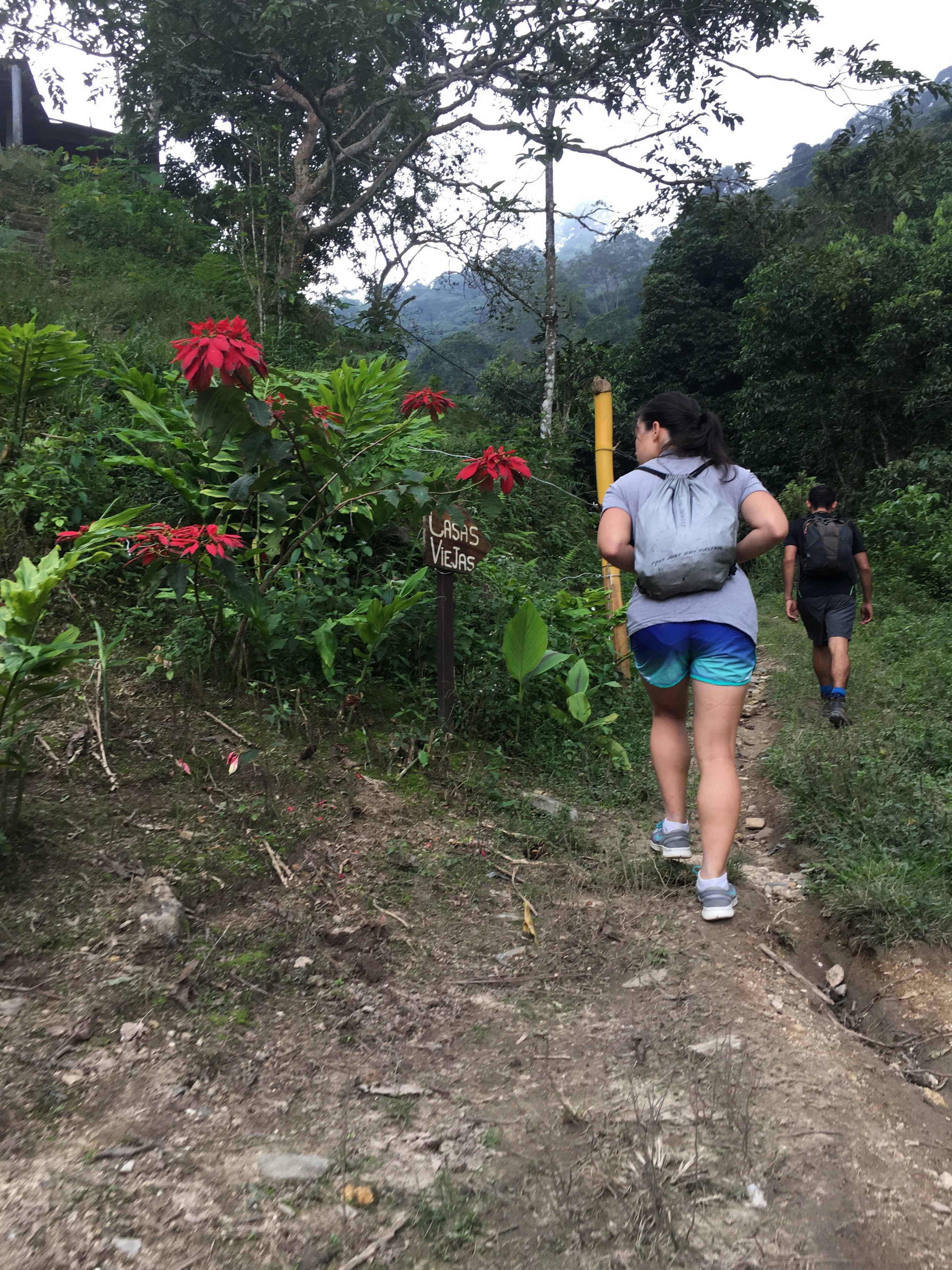
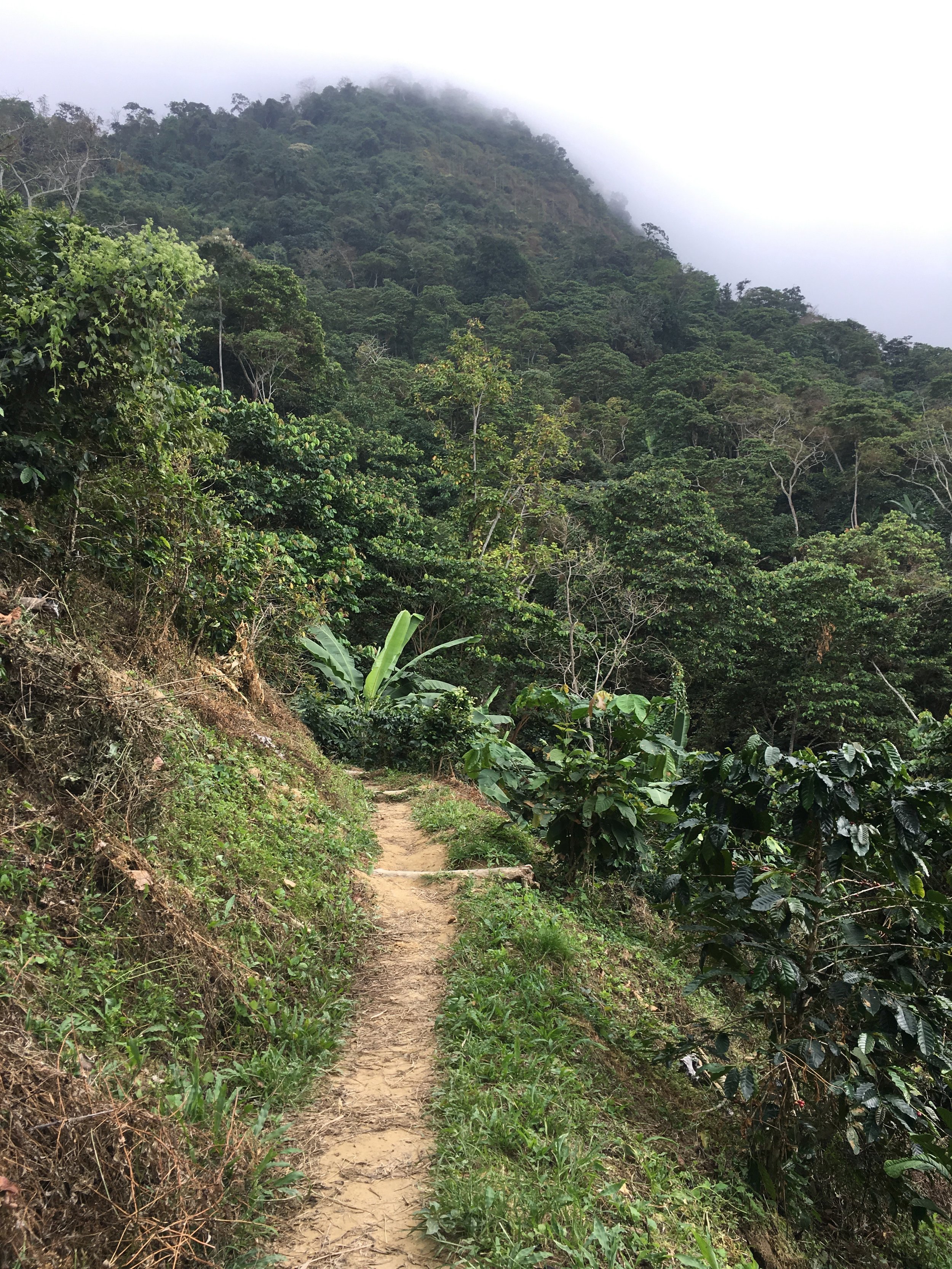
After our break, we began our trek again and took a “shortcut” through the plantation to get back on the main road. In reality, the shortcut was a steep ascension through the plantation and through Casa Viejas that only cut at most 5 minutes off double-backing onto the main road. We continued up on the main road for another hour or so until we arrived in El Campano, where the road splits off in three directions. There was a small tienda at this intersection, where we bumped into a couple of other kids staying at our hostel. They came up through a different route—a shorter, but steeper route.


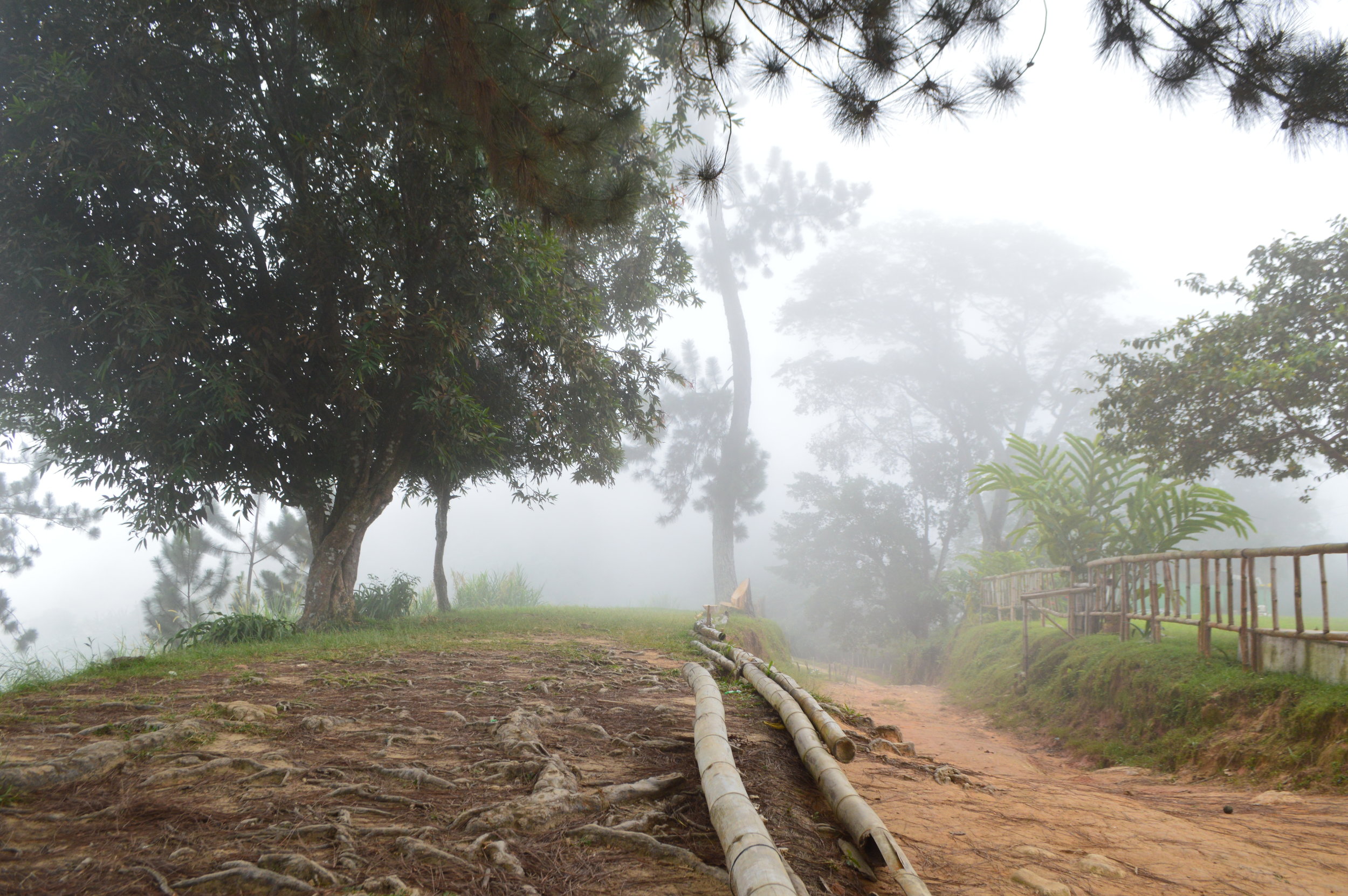
After a quick chat and coffee break, we continued up the road to Los Pinos. And when I thought the uphill battle was over…it wasn’t! We walked uphill on the winding road for another hour and a half until we reached the peak. And there it was…Los Pinos. Three pine trees in all its glory. “That’s it?!?!” Yes, three pine trees, and a whole lot of fog. The view is supposed to be pretty spectacular when it’s clear though.

We continued on. From Los Pinos, it was a gradual but sometimes steep descension all the way down. It was maybe already 3pm and we wanted to try making it to Marinka Falls before sundown. The way down was more winding than the way up. (There was supposedly a shorter way down, but we had already missed that turn by the time we checked the map.) We finally arrived at Marinka Falls 2.5 hours later as the sun was setting. Even though it was only 5,000 COP for the entrance fee, we decided it wasn’t worth the 7-minute trek to the waterfall because it would have been dark by then. By the time we made it down the mountain, it was pitch dark.


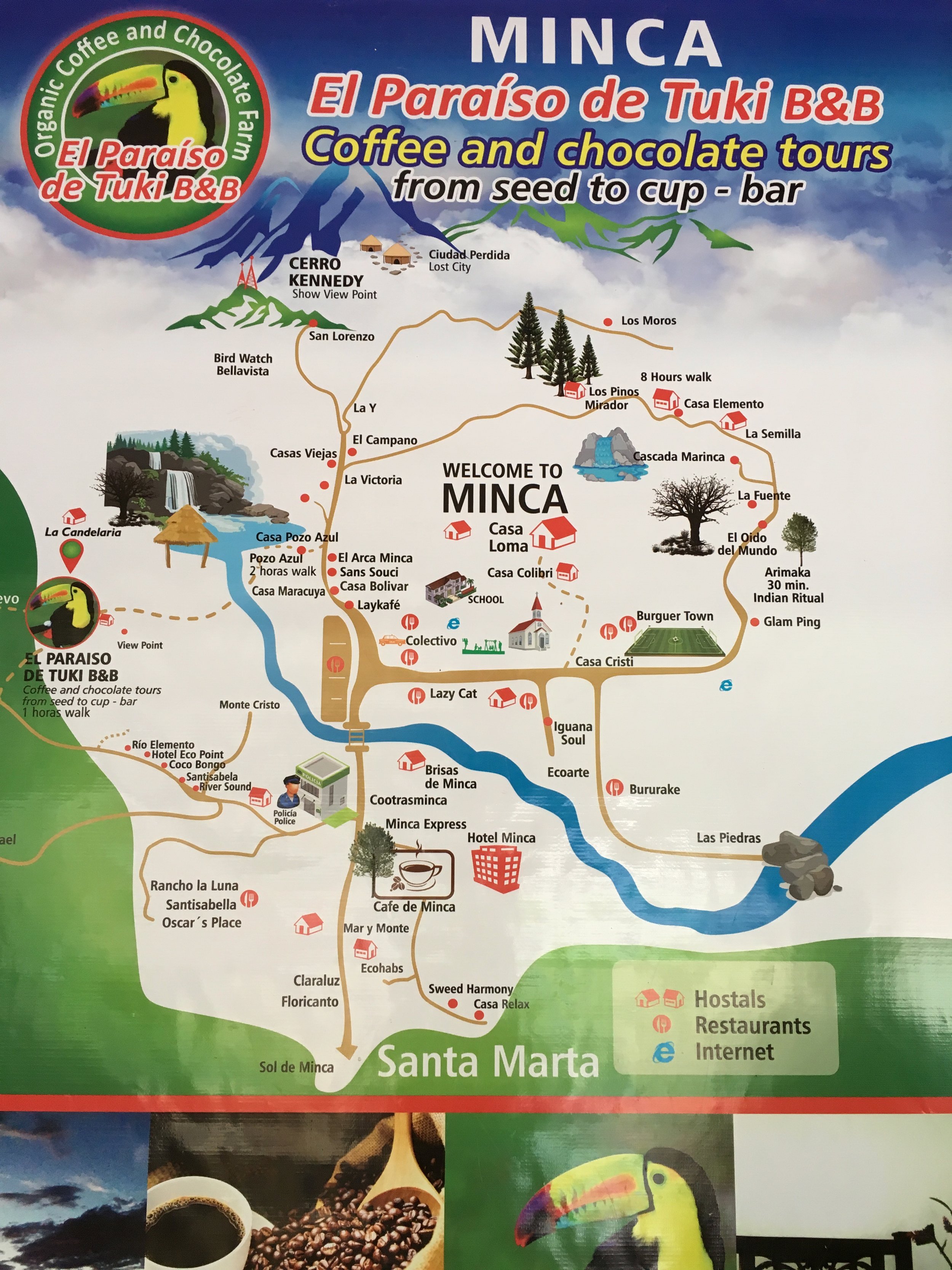
The next morning, we trekked up to La Candelaria area to check out El Paraiso de Tuki, a coffee and chocolate farm. It also doubles as an Airbnb. From the city center, you take a right at the police station and follow the signs all the way up…yes, UP. It is a very steep incline the entire way up. You have the option of taking a mototaxi up most of the way if you prefer. The remainder of the way is inaccessible by mototaxi or vehicle. They’ll drop you off on the side of the road, where you walk along a dirt path to the farm, but it’s a quick 10-minute walk and barely any elevation. We decided to walk the entire length from our hostel. You bet we were sweating and out of breath by the time we made it up.
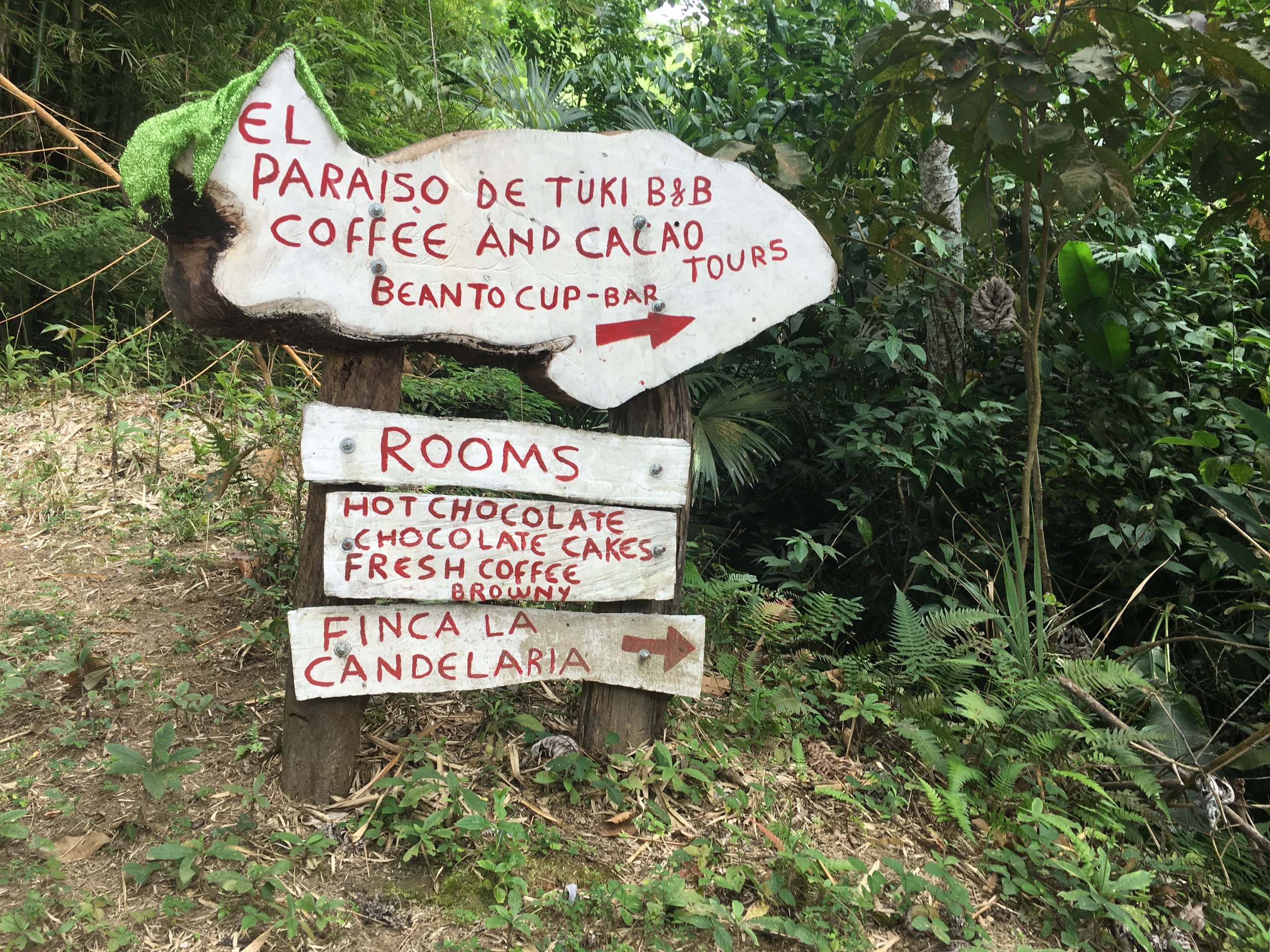


The highlight of El Paraiso de Tuki is sweeping view of Minca from the platform and the toucan that freely roams the surrounding area. Both coffee and chocolate tours are 20,000 COP each. Since we had already did a coffee tour, we opted for the chocolate tour. It was really neat watching the entire process from plant to final product. The tour included sampling of chocolate and a chocolate facial at the end.


Tuki the toucan was also flying back and forth between the trees and the kitchen window where the owners of El Paraiso would feed him cherry tomatoes and papaya.


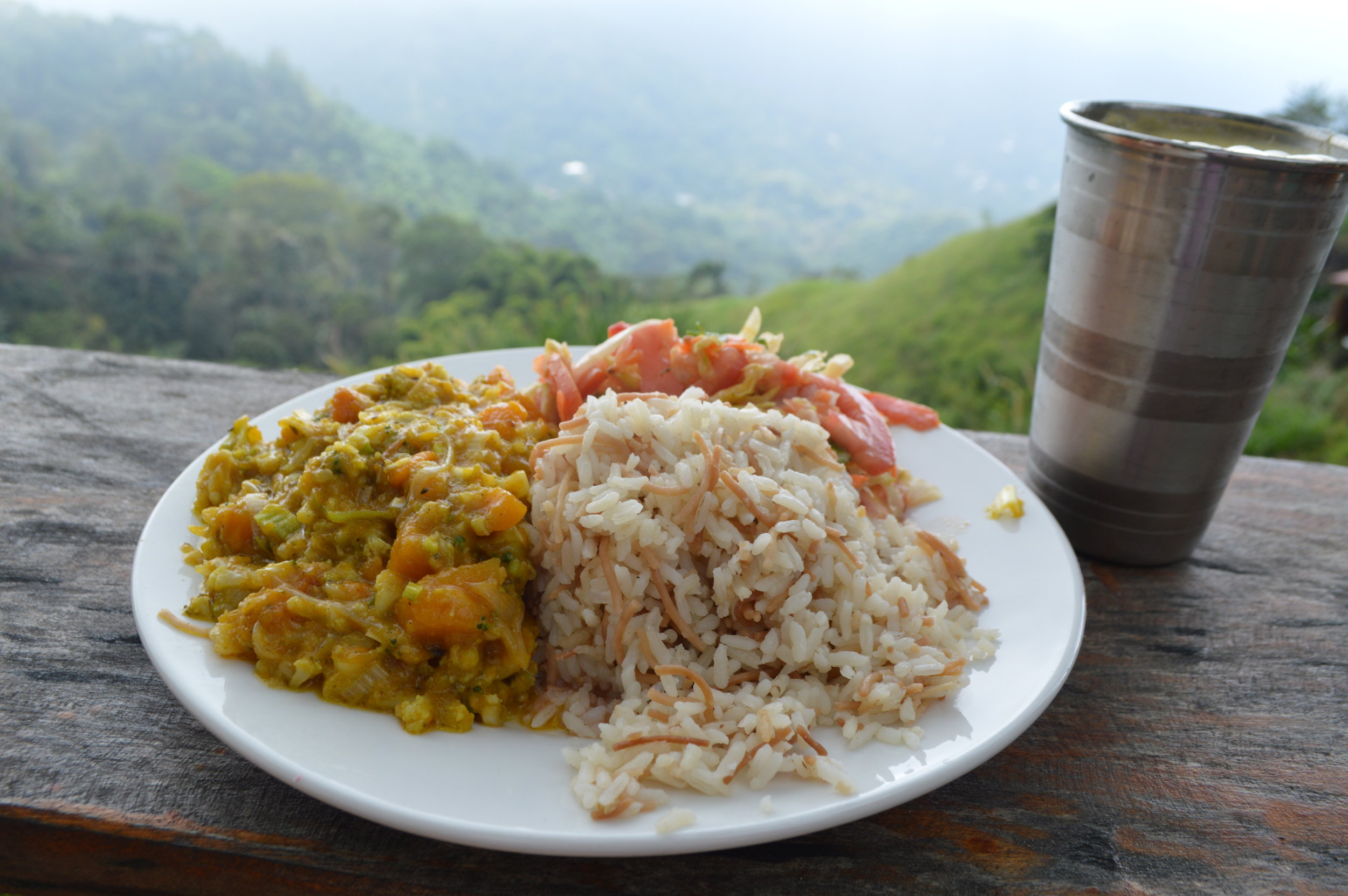
Just a little north of Minca is the Sierra Nevada. A 20 minute hike away from El Paraiso takes you to Nuevo Mundo, an eco-hostel and restaurant with astounding views of forestry and mountains. As we arrived, it looked like the ecolodge was going through a bit of construction and revamping. There was a large patio area next to reception and the kitchen where most of the guests were hanging out and having lunch. We also decided to sit down and have lunch there—and it was a great decision! I love that there wasn’t a menu, but rather a “meal of the day” that was the only choice for lunch. Subsequently, we all got the same vegetarian meal they were offering that day. It was surprisingly really good and a large enough portion for my sister and I to share. It is definitely worth the stop if you have time and if you’re already in that area!


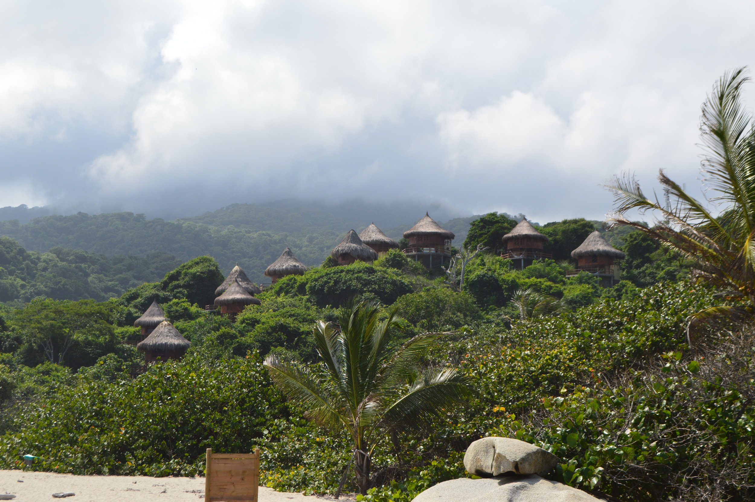
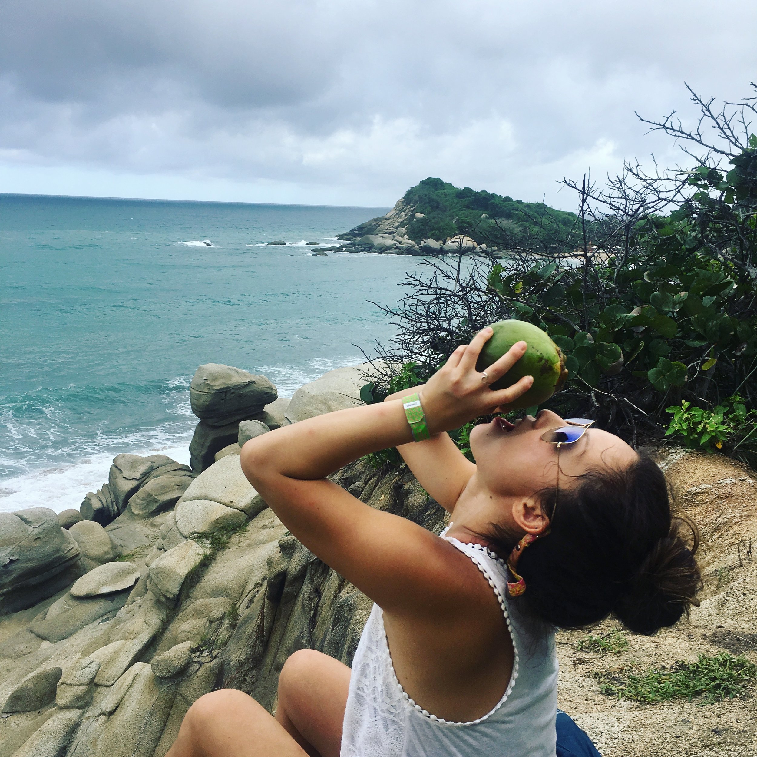
Tayrona Park
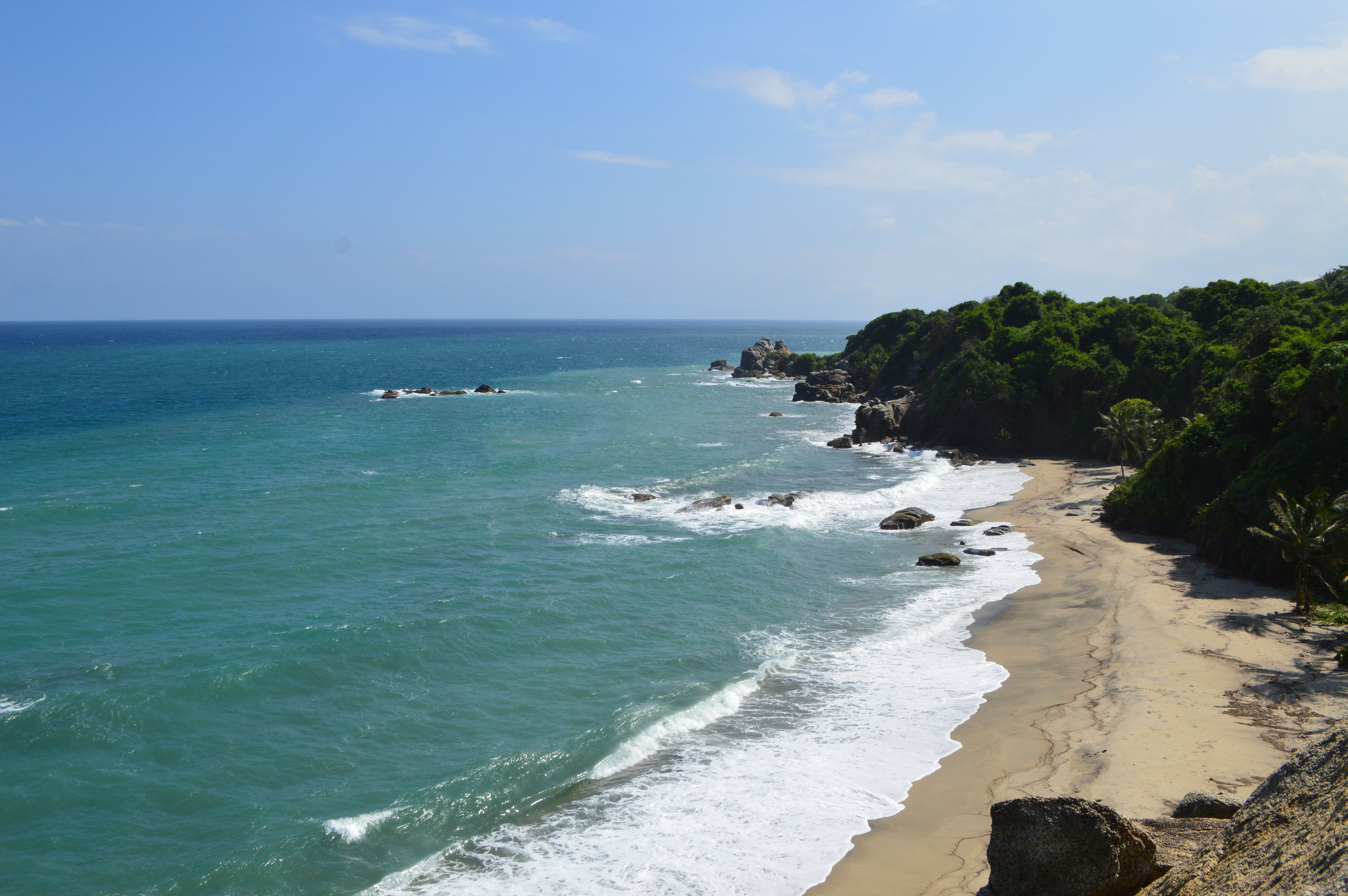
Let me just preface by saying, as someone who currently lives in Southern California next to the beach, Tayrona Park wasn’t as jaw-dropping phenomenal as most forums and websites rave it to be. It’s beautiful, yes, but if you’ve been to Malibu or Hawaii, comparatively, it’s decent. That said, it was mediocre in my book.
There are three entrances into Tayrona Park:
- El Zaino: This is the main entrance and is the most accessible by car and/or bus
- La Palangana: This entrance is before El Zaino, but the bus does not stop here. Only accessible by private transportation (i.e., car or taxi).
- Calabazo: This is the entrance and trail to Pueblito Chayrama, a Kogui community that lives in Tayrona Park.
From the Santa Marta market, we took the bus to the main entrance of Tayrona Park. At the big entrance, look out for the park staff with official Tayrona Park polos! They will provide helpful information and answer any questions you may have. (There were so many people trying to sell us all sorts of things that we naturally ignored them until they stated “we’re not trying to sell you anything!” Oops!)
If you are camping in Tayrona, make sure to check in with the park ranger at the front and get a camping pass. Additionally, there are some people around the entrance nagging you to buy park insurance. We thought this was a scam at first—and honestly still not completely sure if it is or not—but we purchased it (2,500 COP) after being told multiple times that it was mandatory in order to enter the park. (shrug)
We proceeded to the ticket window where we paid the entrance fee (51,150 COP/about $16 USD for non-Colombians/foreigners). At the ticket window, they will ask for your passport for identification. So don’t forget your passport!

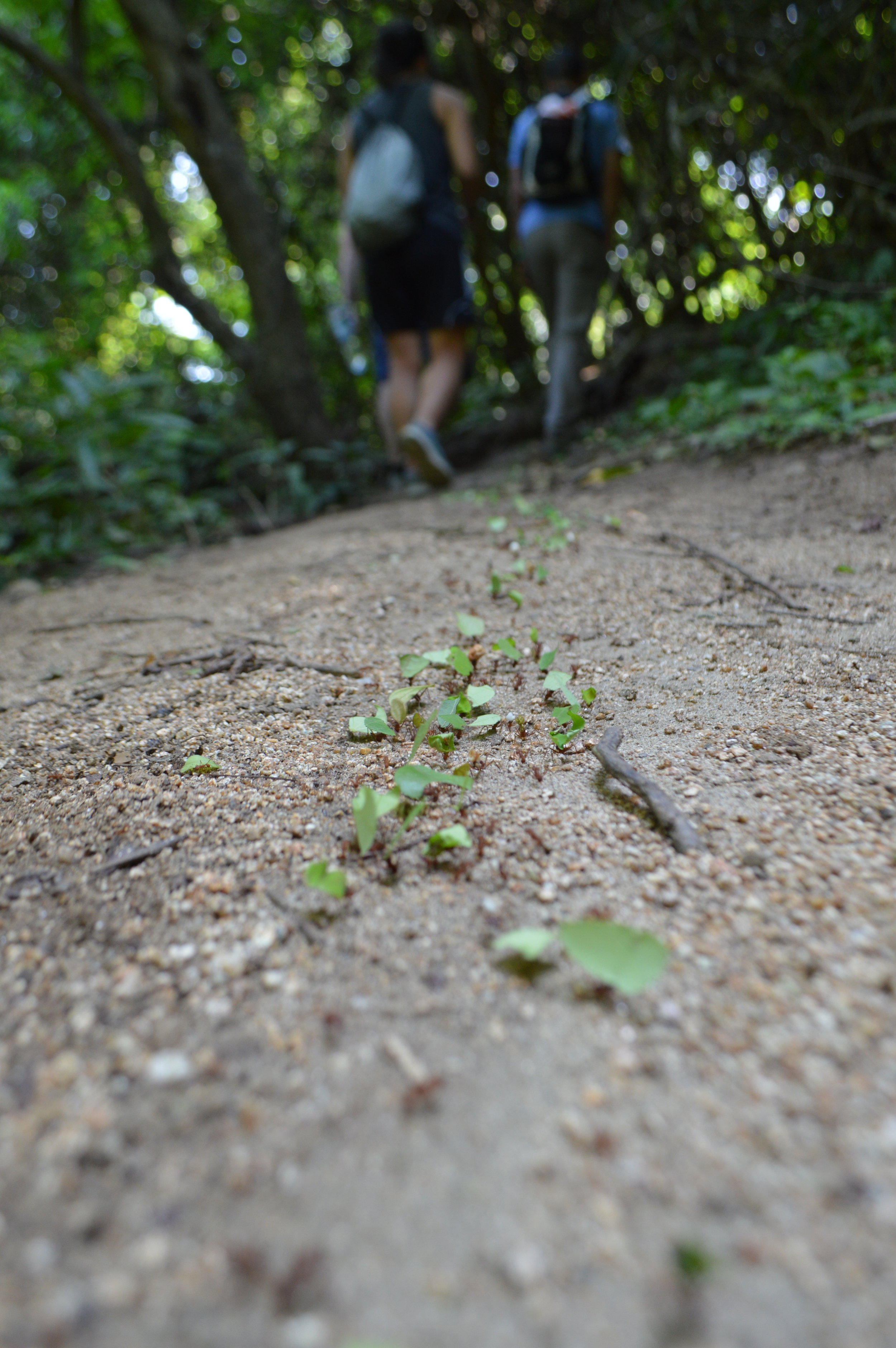
From there, you have the option of walking along the path to the trailhead or taking a shuttle (3,000 COP per person) there. Because we were crunched on time, we decided to take the shuttle—and good thing we did because it would have been a long walk! There was a large map outlining the different trails within Tayrona. We started on Trail A and followed the path marked by these egg-shaped rocks placed at every couple hundred feet. There were a couple viewing platforms and from the trail, you can access the beach if you want a change of scenery. Parts of the trail looked questionable, and the lack of clear signage didn’t help either, so I’d have maps.me downloaded on your phone for reference.


We were so exhausted from the previous days that we stopped at Arrecifes Beach, relaxed, and had lunch at the restaurant nearby.
TL;DR—Important things to know:
- Don’t forget your passport! – you need this to enter the park.
- If you are camping, register with the park ranger at the entrance to get your camping pass.
- ‘Park insurance’ is not a scam. This is mandatory for all visitors. (2,500 COP)
- Bring plenty of mosquito repellant, especially if you plan to stay in the park overnight.
- If you plan to camp in the park, don’t bring a large backpack. Leave that at your hostel and bring a smaller backpack/daypack. Pack only what you need (food, water, clothing) for the number of nights you plan to stay.
Useful Tips
- Money – the most aggravating thing was how all the bills and coins were different colors and sizes–even for the same amount! See pictures below for reference. Be extra careful when you pay because it is very easy to mix up the bills. You may accidentally give someone a 20,000 bill instead of a 2,000, and trust me, they won’t say anything.
- Negotiate! You have a lot of bargaining power in the northern region of Colombia. Don’t take anything at face value. Negotiate prices otherwise you will definitely get ripped off.
- Communication – Most of Colombia doesn’t speak English. Learning a bit of Spanish is highly recommended!
- Bug spray – Bring mosquito repellent if you can, but if you can’t, just go to the pharmacy and get some. It costs around 16,000 COP and works pretty well.
- Download the app maps.me – this proved to be super helpful because unlike google maps, it includes topography and trails.
